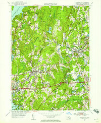
1953 Map of Shrewsbury
USGS Topo · Published 1958About this map
Glacial hills and sprawling reservoir waters characterize this mid-century portrait of Central Massachusetts. The massive Wachusett Reservoir dominates the northwest, its scalloped shoreline including Lord Cove and Andrews Harbor. Institutional land use is a prominent theme of the landscape, marked by the extensive grounds of the Lyman State Sch and the State Hospital further south. The settlement of Shrewsbury sits atop a central ridge, surrounded by family-named heights like Rawson Hill and Ward Hill. To the west, the residential expansion toward Worcester is evident in the developments of Fairlawn and Edgemere along the eastern shore of Lake Quinsigamond. The New York New Haven and Hartford railroad cuts through the southern terrain near Hocomonco Pond, while the established village centers of Northboro and Boylston Center maintain their traditional grids amidst the growing post-war suburban infrastructure.
Find a feature on this map
143 named features on this map. Tap any name to fly to it.
Don’t see what you’re looking for? This feature index may not catch every label — zoom into the map to look around manually.
Map Details
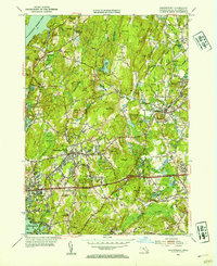
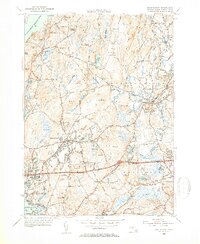
Editions of this 1953 Shrewsbury Map
3 editions found
Other maps of this area

1885 · Worcester
USGS Topo · 1:62,500

1886 · Worcester
USGS Topo · 1:62,500

1886 · Blackstone
USGS Topo · 1:62,500

1887 · Marlboro
USGS Topo · 1:62,500

1889 · Marlboro
USGS Topo · 1:62,500

1889 · Blackstone
USGS Topo · 1:62,500

1889 · Webster
USGS Topo · 1:62,500

1892 · Webster
USGS Topo · 1:62,500

1892 · Worcester
USGS Topo · 1:62,500

1893 · Blackstone
USGS Topo · 1:62,500