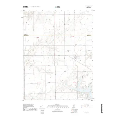
2018 Map of Shumway
USGS Topo · Published 2018About this map
The village of Shumway anchors this portion of Effingham County, situated at a road crossroads just north of the jagged shoreline of Lake Sara. The landscape is defined by its agricultural grid and a high density of rural burial grounds, including Shumway Cem, Saint Marys Cem, and Trinity Lutheran Cem, which often point to the locations of early area congregations. To the south, the terrain becomes more complex as it descends toward the water, where Blue Point Baptist Cem sits near the headwaters of Blue Point Cr.
Find a feature on this map
48 named features on this map. Tap any name to fly to it.
Don’t see what you’re looking for? This feature index may not catch every label — zoom into the map to look around manually.
Map Details
Editions of this 2018 Shumway Map
This is the sole edition of this map. No revisions or reprints were ever made.
Other maps of this area

1941 · St. Elmo
USGS Topo · 1:62,500

1942 · Shelbyville
USGS Topo · 1:62,500

1945 · St. Elmo
USGS Topo · 1:62,500

1946 · Shelbyville
USGS Topo · 1:62,500

1947 · Stewardson
USGS Topo · 1:62,500

1949 · Stewardson
USGS Topo · 1:62,500

1950 · Effingham
USGS Topo · 1:62,500

1951 · Effingham
USGS Topo · 1:62,500

1958 · Decatur
USGS Topo · 1:250,000

1961 · Decatur
USGS Topo · 1:250,000