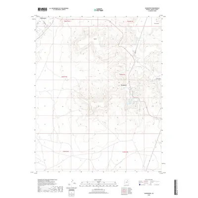
2018 Map of Shungopavi
USGS Topo · Published 2018About this map
Kykotsmovi and Shungopovi are the primary centers of settlement on this high-desert plateau, where life is defined by the availability of water from numerous named springs. The landscape is dominated by the massive landform of Second Mesa, with its steep cliffs and deep drainages. A sophisticated network of water sources is meticulously documented, including White Spring, Ruins Spring, and Cave Spring, which likely reflect long-standing usage and traditional importance to the local community.
Find a feature on this map
26 named features on this map. Tap any name to fly to it.
Don’t see what you’re looking for? This feature index may not catch every label — zoom into the map to look around manually.
Map Details
Editions of this 2018 Shungopavi Map
This is the sole edition of this map. No revisions or reprints were ever made.
Other maps of this area

1883 · Tusayan
USGS Topo · 1:250,000

1886 · Tusayan
USGS Topo · 1:250,000

1947 · Flagstaff
USGS Topo · 1:250,000

1954 · Flagstaff
USGS Topo · 1:250,000

1958 · Flagstaff
USGS Topo · 1:250,000

1960 · Flagstaff
USGS Topo · 1:250,000

1962 · Flagstaff
USGS Topo · 1:250,000

1966 · Oraibi
USGS Topo · 1:62,500

1966 · Egloffstein Butte
USGS Topo · 1:62,500

1966 · Tovar Mesa
USGS Topo · 1:62,500