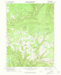
1970 Map of Shunk
USGS Topo · Published 1973About this map
State Game Lands No 12 and the northern reaches of the Wyoming State Forest dominate this landscape on the border of Bradford and Sullivan Counties. The area is defined by narrow creek valleys and high ridges, where small settlements like Shunk, Minerville, and Eldredsville serve as isolated pockets of community amidst the heavy timber. The survey reveals a landscape transitioned from early industry to managed forest and recreation, evidenced by landmarks such as Camp Brule and the secluded Bearwallow Pond.
Find a feature on this map
46 named features on this map. Tap any name to fly to it.
Don’t see what you’re looking for? This feature index may not catch every label — zoom into the map to look around manually.
Map Details
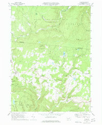
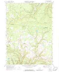
Editions of this 1970 Shunk Map
Other maps of this area

1927 · Eagles Mere
USGS Topo · 1:48,000

1930 · Warrensville
USGS Topo · 1:62,500

1932 · Eagle Mere
USGS Topo · 1:62,500

1934 · Warrensville
USGS Topo · 1:62,500

1942 · Canton
USGS Topo · 1:62,500

1943 · Powell
USGS Topo · 1:62,500

1944 · Canton
USGS Topo · 1:62,500

1945 · Powell
USGS Topo · 1:62,500

1953 · Warrensville
USGS Topo · 1:62,500

1953 · Eagles Mere
USGS Topo · 1:62,500
Featured Places
- Leroy Township, PA
- Overton Township, PA
- Shunk, Fox Township
- Eldredsville, Elkland Township
- Elkland Township, PA