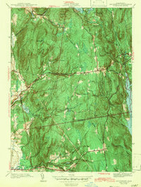
1943 Map of Shutesbury
USGS Topo · Published 1943About this map
Quabbin Reservoir dominates the eastern edge of this landscape, its shoreline defining the transition between the rolling uplands and the submerged river valley. Surveyed just before the mid-1940s, this record shows the rugged interior of Franklin and Hampshire counties, where steep elevations like Brushy Mtn and Mt Orient separate tightly clustered settlements. The network of brooks, including Sawmill River and Amethyst Brook, dictates the placement of early industry and habitation, supporting local reservoirs such as Atkins Reservoir and Gates Reservoir.
Find a feature on this map
52 named features on this map. Tap any name to fly to it.
Don’t see what you’re looking for? This feature index may not catch every label — zoom into the map to look around manually.
Map Details
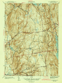
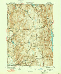
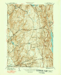
Editions of this 1943 Shutesbury Map
4 editions found
Other maps of this area

1885 · Northampton
USGS Topo · 1:62,500

1886 · Northampton
USGS Topo · 1:62,500

1887 · Warwick
USGS Topo · 1:62,500

1887 · Belchertown
USGS Topo · 1:62,500

1889 · Warwick
USGS Topo · 1:62,500

1890 · Belchertown
USGS Topo · 1:62,500

1890 · Greenfield
USGS Topo · 1:62,500

1891 · Northampton
USGS Topo · 1:62,500

1893 · Northampton
USGS Topo · 1:62,500

1893 · Belchertown
USGS Topo · 1:62,500