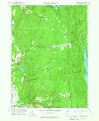
1964 Map of Shutesbury
USGS Topo · Published 1966About this map
Quabbin Reservoir dominates the eastern edge of this landscape, its waters reaching into the valleys formed by Cubb Brook and the West Branch Swift River. This mid-1960s snapshot shows a region defined by its protected woodlands and small, scattered settlements. To the north, Locks Village and Moores Corner sit near the recreational hub of Lake Wyola, while the Shutesbury State Forest covers the uplands toward the east.
Find a feature on this map
90 named features on this map. Tap any name to fly to it.
Don’t see what you’re looking for? This feature index may not catch every label — zoom into the map to look around manually.
Map Details
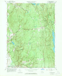
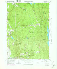
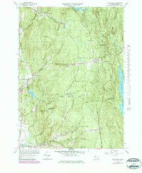
Editions of this 1964 Shutesbury Map
4 editions found
Other maps of this area

1885 · Northampton
USGS Topo · 1:62,500

1886 · Northampton
USGS Topo · 1:62,500

1887 · Warwick
USGS Topo · 1:62,500

1887 · Belchertown
USGS Topo · 1:62,500

1889 · Warwick
USGS Topo · 1:62,500

1890 · Belchertown
USGS Topo · 1:62,500

1890 · Greenfield
USGS Topo · 1:62,500

1891 · Northampton
USGS Topo · 1:62,500

1893 · Northampton
USGS Topo · 1:62,500

1893 · Belchertown
USGS Topo · 1:62,500