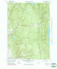
1964 Map of Shutesbury
USGS Topo · Published 1979About this map
Shutesbury and its surrounding woodlands are defined by a network of small reservoirs and mountain brooks in this mid-century topographic record. The landscape reveals the complex hydrology of the Quabbin Reservoir watershed, where features like Baker Reservoir, Atkins Reservoir, and Lake Wyola dot the upland terrain. Small clusters of habitation such as Locks Village, Dudleyville, and Baconville are linked by winding routes like Montague Road and Pelham Road, reflecting a rural settlement pattern that follows the natural contours of Brushy Mountain and Mt Orient.
Find a feature on this map
72 named features on this map. Tap any name to fly to it.
Don’t see what you’re looking for? This feature index may not catch every label — zoom into the map to look around manually.
Map Details
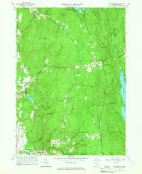
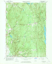
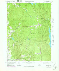
Editions of this 1964 Shutesbury Map
4 editions found
Other maps of this area

1885 · Northampton
USGS Topo · 1:62,500

1886 · Northampton
USGS Topo · 1:62,500

1887 · Warwick
USGS Topo · 1:62,500

1887 · Belchertown
USGS Topo · 1:62,500

1889 · Warwick
USGS Topo · 1:62,500

1890 · Belchertown
USGS Topo · 1:62,500

1890 · Greenfield
USGS Topo · 1:62,500

1891 · Northampton
USGS Topo · 1:62,500

1893 · Northampton
USGS Topo · 1:62,500

1893 · Belchertown
USGS Topo · 1:62,500