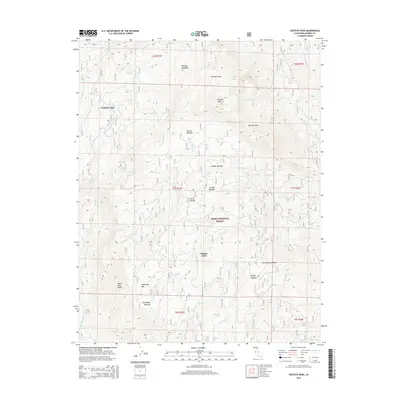
2015 Map of Shuteye Peak
USGS Topo · Published 2015About this map
Central Camp serves as a primary reference point in this high-altitude landscape within the Sierra National Forest. The topography is defined by significant granite elevations and seasonal clearings, notably Shuteye Peak and Peckinpah Mtn, which overlook a network of high-country meadows. These features, including Morgan Meadow, Haskell Meadow, and Peckinpah Meadow, suggest a history of seasonal grazing or logging operations tied to the settlement at Sierra Nevada. The drainage system is equally complex, with Whisky Falls and numerous creeks like Browns Cr and Peckinpah Cr carving through the ridgelines. This 2015 survey provides a modern look at the remote access routes and water sources that have sustained land use in the central Sierras for generations.
Find a feature on this map
42 named features on this map. Tap any name to fly to it.
Don’t see what you’re looking for? This feature index may not catch every label — zoom into the map to look around manually.
Map Details
Editions of this 2015 Shuteye Peak Map
This is the sole edition of this map. No revisions or reprints were ever made.
Other maps of this area

1904 · Kaiser
USGS Topo · 1:125,000

1912 · Mariposa
USGS Topo · 1:125,000

1942 · Millerton Lake
USGS Topo · 1:62,500

1945 · Millerton Lake
USGS Topo · 1:62,500

1947 · Mariposa
USGS Topo · 1:250,000

1948 · Mariposa
USGS Topo · 1:250,000
1953 · Bass Lake
USGS Topo · 1:62,500

1953 · Shaver Lake
USGS Topo · 1:62,500

1953 · Shuteye Peak
USGS Topo · 1:62,500

1957 · Mariposa
USGS Topo · 1:250,000