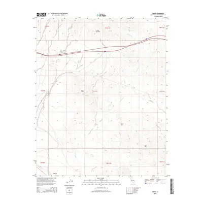
2015 Map of Siberia
USGS Topo · Published 2015About this map
Siberia stands as a distinct landmark within the vast expanse of the Mojave Desert in this contemporary survey of eastern San Bernardino County. The landscape is defined by its stark geological formations, most notably the Bristol Mountains in the north and the dark, volcanic outcrops of the Lava Hills and Black Ridge to the south. An extensive drainage system, anchored by the braided channels of Siberia Wash, illustrates the seasonal water patterns that have shaped this arid environment over millennia. The map details the modern transport infrastructure traversing this terrain, including the path of CR-20410, while providing a precise look at the township and range boundaries that organize this section of the high desert. This 2015 update provides an essential reference for understanding the physical geography and road networks of this isolated desert corridor.
Find a feature on this map
16 named features on this map. Tap any name to fly to it.
Don’t see what you’re looking for? This feature index may not catch every label — zoom into the map to look around manually.
Map Details
Editions of this 2015 Siberia Map
This is the sole edition of this map. No revisions or reprints were ever made.
Other maps of this area

1942 · Amboy
USGS Topo · 1:250,000

1943 · Amboy
USGS Topo · 1:250,000

1953 · San Bernardino
USGS Topo · 1:250,000

1954 · Needles
USGS Topo · 1:250,000

1954 · Amboy Crater
USGS Topo · 1:24,000

1954 · Bagdad SW
USGS Topo · 1:24,000

1954 · Ludlow SE
USGS Topo · 1:24,000

1955 · Ash Hill
USGS Topo · 1:24,000

1955 · Broadwell Lake
USGS Topo · 1:62,500

1955 · Ludlow
USGS Topo · 1:62,500