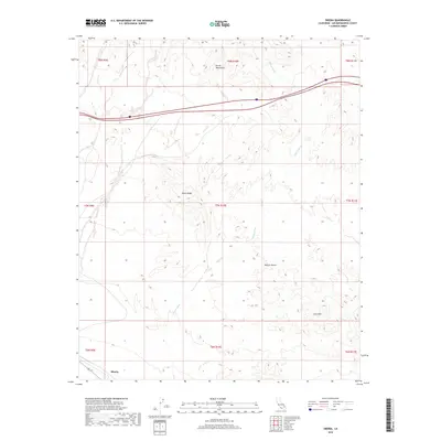
2018 Map of Siberia
USGS Topo · Published 2018About this map
The Mojave Desert landscape of San Bernardino County dominates this 2018 survey, centered on the historic railroad stop of Siberia. Located in the southern portion of the map, this small settlement serves as a waypoint in a high-desert environment defined by the Bristol Mountains to the north and the volcanic formations of the Lava Hills to the southeast. The terrain is characterized by a network of drainage channels, most notably the Siberia Wash, which carries seasonal runoff through the arid basin.
Find a feature on this map
15 named features on this map. Tap any name to fly to it.
Don’t see what you’re looking for? This feature index may not catch every label — zoom into the map to look around manually.
Map Details
Editions of this 2018 Siberia Map
This is the sole edition of this map. No revisions or reprints were ever made.
Other maps of this area

1942 · Amboy
USGS Topo · 1:250,000

1943 · Amboy
USGS Topo · 1:250,000

1953 · San Bernardino
USGS Topo · 1:250,000

1954 · Needles
USGS Topo · 1:250,000

1954 · Amboy Crater
USGS Topo · 1:24,000

1954 · Bagdad SW
USGS Topo · 1:24,000

1954 · Ludlow SE
USGS Topo · 1:24,000

1955 · Ash Hill
USGS Topo · 1:24,000

1955 · Broadwell Lake
USGS Topo · 1:62,500

1955 · Ludlow
USGS Topo · 1:62,500