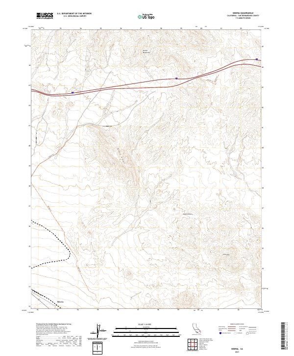
2021 Map of Siberia
USGS Topo · Published 2021About this map
Siberia sits at the southwestern edge of this arid San Bernardino County landscape, a name that evokes the stark isolation of the high desert. The terrain is dominated by the volcanic and metamorphic formations of the Bristol Mountains to the north and the Lava Hills to the southeast, illustrating the complex geology of the Mojave Desert. This 2021 survey shows a landscape defined by natural barriers and modern transit corridors, where Black Ridge serves as a prominent vertical landmark. The area is crisscrossed by several designated tracks, including Ns0020 Trl and Ns0024 Trl, which provide the only navigational routes through the otherwise trackless desert basins and mountain passes. The map effectively captures the relationship between the remote rail stop area and the immense, unpopulated terrain surrounding it.
Find a feature on this map
18 named features on this map. Tap any name to fly to it.
Don’t see what you’re looking for? This feature index may not catch every label — zoom into the map to look around manually.
Map Details
Editions of this 2021 Siberia Map
This is the sole edition of this map. No revisions or reprints were ever made.
Other maps of this area

1942 · Amboy
USGS Topo · 1:250,000

1943 · Amboy
USGS Topo · 1:250,000

1953 · San Bernardino
USGS Topo · 1:250,000

1954 · Needles
USGS Topo · 1:250,000

1954 · Amboy Crater
USGS Topo · 1:24,000

1954 · Bagdad SW
USGS Topo · 1:24,000

1954 · Ludlow SE
USGS Topo · 1:24,000

1955 · Ash Hill
USGS Topo · 1:24,000

1955 · Broadwell Lake
USGS Topo · 1:62,500

1955 · Ludlow
USGS Topo · 1:62,500