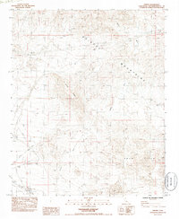
1985 Map of Siberia
USGS Topo · Published 1985About this map
The remote Mojave desert settlement of Siberia appears as a sparse outpost along the railroad in this mid-1980s topographic record. The landscape is defined by its arid drainage patterns, most notably the winding course of Siberia Wash, which cuts through the surrounding valley floors. This map captures the region after field checks in 1982, illustrating the isolation of this high-desert site and its vital connection to the rail line. Beyond the small collection of structures at the townsite, the map focuses on the natural topography and the dry washes that dictate the movement of water and travelers across the basin.
Find a feature on this map
2 named features on this map. Tap any name to fly to it.
Don’t see what you’re looking for? This feature index may not catch every label — zoom into the map to look around manually.
Map Details
Editions of this 1985 Siberia Map
This is the sole edition of this map. No revisions or reprints were ever made.
Other maps of this area

1942 · Amboy
USGS Topo · 1:250,000

1943 · Amboy
USGS Topo · 1:250,000

1953 · San Bernardino
USGS Topo · 1:250,000

1954 · Needles
USGS Topo · 1:250,000

1954 · Amboy Crater
USGS Topo · 1:24,000

1954 · Bagdad SW
USGS Topo · 1:24,000

1954 · Ludlow SE
USGS Topo · 1:24,000

1955 · Ash Hill
USGS Topo · 1:24,000

1955 · Broadwell Lake
USGS Topo · 1:62,500

1955 · Ludlow
USGS Topo · 1:62,500