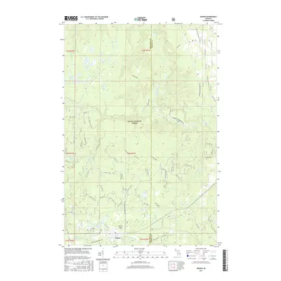
2017 Map of Sidnaw
USGS Topo · Published 2017About this map
Sidnaw anchors the southern portion of this landscape, situated at the boundary of Houghton Co and Baraga Co. This area is defined by the extensive woodlands of the Ottawa National Forest, where a network of forest roads and trails, including the N Country National Scenic Trail and the Bessemer Snowmobile #8, crisscross the terrain. The presence of Sidnaw Cem and Prickett Grooms Field provides specific points of interest for genealogists and local historians tracing families in this part of Michigan's Upper Peninsula.
Find a feature on this map
43 named features on this map. Tap any name to fly to it.
Don’t see what you’re looking for? This feature index may not catch every label — zoom into the map to look around manually.
Map Details
Editions of this 2017 Sidnaw Map
This is the sole edition of this map. No revisions or reprints were ever made.
Other maps of this area
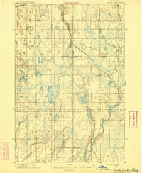
1895 · Perch Lake
USGS Topo · 1:62,500
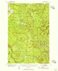
1954 · Rousseau
USGS Topo · 1:62,500
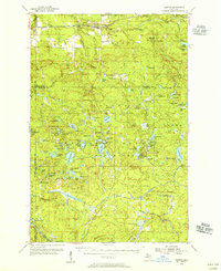
1954 · Kenton
USGS Topo · 1:62,500
1954 · Perch Lake
USGS Topo · 1:62,500
1954 · Sidnaw
USGS Topo · 1:62,500

1958 · Iron River
USGS Topo · 1:250,000
1960 · Iron River
USGS Topo · 1:250,000
1961 · Iron River
USGS Topo · 1:250,000
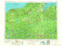
1967 · Iron River
USGS Topo · 1:250,000
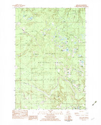
1982 · Echo Lake
USGS Topo · 1:25,000