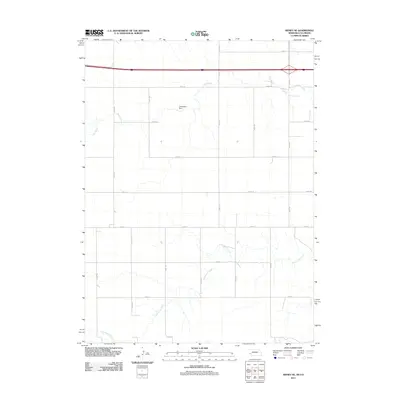
2011 Map of Sidney SE
USGS Topo · Published 2011About this map
Cottonwood Creek and Cow Creek snake across this high-plains landscape in Logan County, defining the drainage patterns of an area dominated by an organized grid of section roads. The terrain is largely agricultural, punctuated by water management features like the Curtiselsen Dam located in the northern half of the quadrangle. A network of rural thoroughfares, including Road 131 and Road 135, provides access to the dispersed farmsteads and ranches characteristic of this region. The map reflects the modern infrastructure of the early 21st century, where county roads such as Co Rd 7.9 intersect the landscape's natural features.
Find a feature on this map
18 named features on this map. Tap any name to fly to it.
Don’t see what you’re looking for? This feature index may not catch every label — zoom into the map to look around manually.
Map Details
Editions of this 2011 Sidney SE Map
This is the sole edition of this map. No revisions or reprints were ever made.
Other maps of this area

1899 · Sidney
USGS Topo · 1:125,000

1953 · Twin Buttes
USGS Topo · 1:24,000

1953 · Haystack Butte
USGS Topo · 1:24,000

1953 · Julesburg Reservoir
USGS Topo · 1:24,000

1954 · Sterling
USGS Topo · 1:250,000

1954 · Scottsbluff
USGS Topo · 1:250,000

1958 · Scottsbluff
USGS Topo · 1:250,000

1958 · Sterling
USGS Topo · 1:250,000
1971 · Twin Buttes
USGS Topo · 1:24,000

1972 · Lodgepole
USGS Topo · 1:24,000