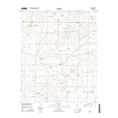
2014 Map of Sidon
USGS Topo · Published 2014About this map
Sidon and the surrounding Arkansas landscape in White and Cleburne counties are defined by a complex network of hollows and ridges that once shaped the local economy and community life. The terrain is marked by numerous family-named valleys such as Hanes Hollow, Gray Hollow, and Murdough Hollow, which drain into larger watercourses like Bayou Des Arc and Hog Foot Cr. At this time, the settlement of Center Hill served as a focal point in the southern portion of the quadrangle, while the smaller community of Pickens occupied the northeastern corner. Historical institutions remain central to the geography, evidenced by Sidon Cem and Pleasant Ridge Cem. Unique landmarks, including Lookout Mtn, Potato Hill, and Brown's Airport, provide specific reference points for researchers studying the mid-20th-century transition of this rural area from traditional agriculture toward modern utility, as seen in the development of Ar-36.
Find a feature on this map
102 named features on this map. Tap any name to fly to it.
Don’t see what you’re looking for? This feature index may not catch every label — zoom into the map to look around manually.
Map Details
Editions of this 2014 Sidon Map
This is the sole edition of this map. No revisions or reprints were ever made.
Other maps of this area

1953 · Memphis
USGS Topo · 1:250,000

1956 · Memphis
USGS Topo · 1:250,000

1956 · Russellville
USGS Topo · 1:250,000

1962 · Pangburn
USGS Topo · 1:24,000

1962 · Letona
USGS Topo · 1:24,000

1963 · Rose Bud
USGS Topo · 1:24,000

1963 · Garner
USGS Topo · 1:24,000

1963 · Floyd
USGS Topo · 1:24,000

1963 · West Pangburn
USGS Topo · 1:24,000

1963 · Mount Vernon
USGS Topo · 1:24,000