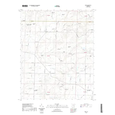
2020 Map of Sidon
USGS Topo · Published 2020About this map
The boundary between Cleburne and White Counties cuts through a landscape defined by deep hollows and prominent ridges. Small community centers like Sidon, Joy, and Gravel Hill anchor the local road network, which navigates a complex topography of features such as Murdough Hollow, Sweet Gum Hollow, and Georgia Ridge. The drainage patterns are clearly visible, with Bayou Des Arc and Little Cr winding through the terrain toward the southeast.
Find a feature on this map
100 named features on this map. Tap any name to fly to it.
Don’t see what you’re looking for? This feature index may not catch every label — zoom into the map to look around manually.
Map Details
Editions of this 2020 Sidon Map
This is the sole edition of this map. No revisions or reprints were ever made.
Other maps of this area

1953 · Memphis
USGS Topo · 1:250,000

1956 · Memphis
USGS Topo · 1:250,000

1956 · Russellville
USGS Topo · 1:250,000

1962 · Pangburn
USGS Topo · 1:24,000

1962 · Letona
USGS Topo · 1:24,000

1963 · Rose Bud
USGS Topo · 1:24,000

1963 · Garner
USGS Topo · 1:24,000

1963 · Floyd
USGS Topo · 1:24,000

1963 · West Pangburn
USGS Topo · 1:24,000

1963 · Mount Vernon
USGS Topo · 1:24,000