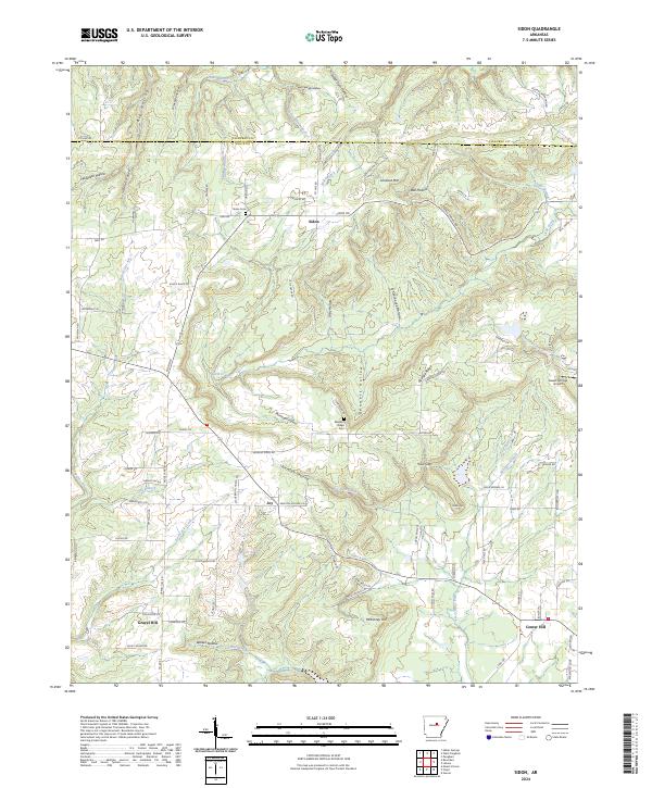
2024 Map of Sidon
USGS Topo · Published 2024About this map
Sidon serves as a central point of reference in this landscape of the Arkansas interior, situated near the boundary between Cleburne and White Counties. The area is defined by a dense network of named hollows and ridges, such as Sweet Gum Hollow and Georgia Ridge, which dictate the winding paths of rural routes like Sidon Rd and Georgia Ridge Rd. Genealogists will find significant local history at the Sidon Cem and Pleasant Ridge Cem, which serve as quiet markers of the families who settled these upland drainages.
Find a feature on this map
102 named features on this map. Tap any name to fly to it.
Don’t see what you’re looking for? This feature index may not catch every label — zoom into the map to look around manually.
Map Details
Editions of this 2024 Sidon Map
This is the sole edition of this map. No revisions or reprints were ever made.
Other maps of this area

1953 · Memphis
USGS Topo · 1:250,000

1956 · Memphis
USGS Topo · 1:250,000

1956 · Russellville
USGS Topo · 1:250,000

1962 · Pangburn
USGS Topo · 1:24,000

1962 · Letona
USGS Topo · 1:24,000

1963 · Rose Bud
USGS Topo · 1:24,000

1963 · Garner
USGS Topo · 1:24,000

1963 · Floyd
USGS Topo · 1:24,000

1963 · West Pangburn
USGS Topo · 1:24,000

1963 · Mount Vernon
USGS Topo · 1:24,000