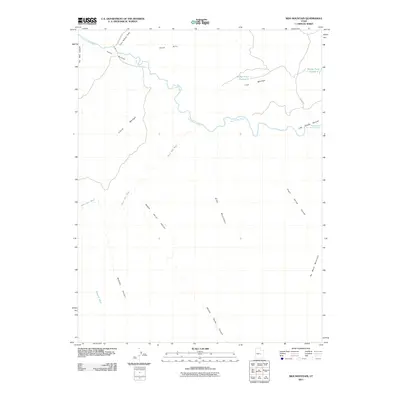
2011 Map of Sids Mountain
USGS Topo · Published 2011About this map
The San Rafael River carves a deep path through this portion of Emery County, defining a landscape dominated by dramatic high-desert formations and seasonal drainages. In the north, Fuller Bottom serves as a key low point for the river near the end of Fullers Bottom Rd, while the massive plateau of The Wedge overlooks the winding watercourse. The map documents the intricate network of canyons that feed into the main river system, including Saddle Horse Canyon, McCarty Canyon, and the appropriately named Little Grand Canyon. To the south, the prominent rise of Sids Mountain and the isolated mass of No Mans Mountain stand above the drainage basins of North Salt Wash and Mesquite Wash. This terrain is further marked by the high contrast of the Chalk Hills and the striking boundary of The Red Ledges on the western edge.
Find a feature on this map
19 named features on this map. Tap any name to fly to it.
Don’t see what you’re looking for? This feature index may not catch every label — zoom into the map to look around manually.
Map Details
Editions of this 2011 Sids Mountain Map
This is the sole edition of this map. No revisions or reprints were ever made.
Other maps of this area

1885 · San Rafael
USGS Topo · 1:250,000

1886 · Price River
USGS Topo · 1:250,000

1896 · Price River
USGS Topo · 1:250,000

1952 · San Rafael Knob
USGS Topo · 1:62,500

1953 · Wilsonville SE
USGS Topo · 1:24,000

1953 · Red Plateau SW
USGS Topo · 1:24,000

1954 · Stinking Spring Creek 1 NW
USGS Topo · 1:24,000

1954 · Stinking Spring Creek 2 NE
USGS Topo · 1:24,000
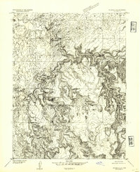
1954 · Wilsonville SE
USGS Topo · 1:24,000
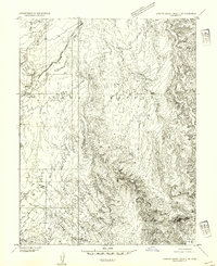
1954 · Stinking Spring Creek 2 NW
USGS Topo · 1:24,000