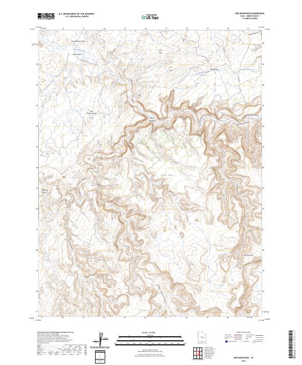
2023 Map of Sids Mountain
USGS Topo · Published 2023About this map
The San Rafael River carves a dramatic path through this high desert landscape, defining the steep-walled geography of the Little Grand Canyon and the surrounding plateaus. This U.S. Geological Survey 2023 edition highlights a region of profound vertical relief, where landmarks like Sids Mtn and No Mans Mtn rise above intricate drainage networks. Cattle and wildlife management are evident through features such as Wedge Pond Number 2 and Wedge Pond Number 4, which serve as vital water sources in this arid environment.
Find a feature on this map
18 named features on this map. Tap any name to fly to it.
Don’t see what you’re looking for? This feature index may not catch every label — zoom into the map to look around manually.
Map Details
Editions of this 2023 Sids Mountain Map
This is the sole edition of this map. No revisions or reprints were ever made.
Other maps of this area

1885 · San Rafael
USGS Topo · 1:250,000

1886 · Price River
USGS Topo · 1:250,000

1896 · Price River
USGS Topo · 1:250,000

1952 · San Rafael Knob
USGS Topo · 1:62,500

1953 · Wilsonville SE
USGS Topo · 1:24,000

1953 · Red Plateau SW
USGS Topo · 1:24,000

1954 · Stinking Spring Creek 1 NW
USGS Topo · 1:24,000

1954 · Stinking Spring Creek 2 NE
USGS Topo · 1:24,000
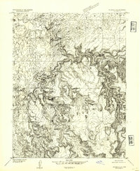
1954 · Wilsonville SE
USGS Topo · 1:24,000
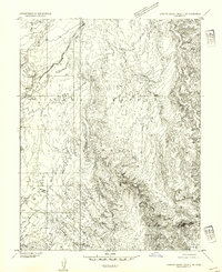
1954 · Stinking Spring Creek 2 NW
USGS Topo · 1:24,000