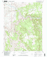
1983 Map of Sids Mountain
USGS Topo · Published 1983About this map
The San Rafael River carves a deep path through the Emery County landscape, most notably forming the Little Grand Canyon and the Grand Canyon on the eastern edge of this 1983 survey. This map highlights the dramatic plateaus of The Wedge and Little Wedge, where the terrain drops sharply into the river valley. The presence of Wedge Pond No 1 and Wedge Pond No 2 on the high plains suggests a reliance on catchment for water in this arid environment.
Find a feature on this map
22 named features on this map. Tap any name to fly to it.
Don’t see what you’re looking for? This feature index may not catch every label — zoom into the map to look around manually.
Map Details
Editions of this 1983 Sids Mountain Map
This is the sole edition of this map. No revisions or reprints were ever made.
Other maps of this area

1885 · San Rafael
USGS Topo · 1:250,000

1886 · Price River
USGS Topo · 1:250,000

1896 · Price River
USGS Topo · 1:250,000

1952 · San Rafael Knob
USGS Topo · 1:62,500

1953 · Wilsonville SE
USGS Topo · 1:24,000

1953 · Red Plateau SW
USGS Topo · 1:24,000

1954 · Stinking Spring Creek 1 NW
USGS Topo · 1:24,000

1954 · Stinking Spring Creek 2 NE
USGS Topo · 1:24,000
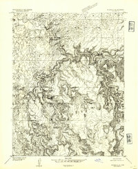
1954 · Wilsonville SE
USGS Topo · 1:24,000
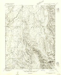
1954 · Stinking Spring Creek 2 NW
USGS Topo · 1:24,000