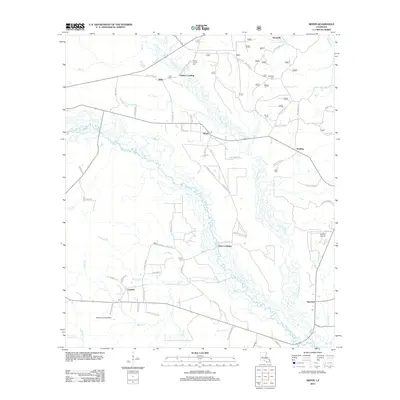
2012 Map of Sieper
USGS Topo · Published 2012About this map
The Calcasieu River meanders through this portion of Rapides Parish, defining a landscape marked by small rural settlements and a complex network of bayous and creeks. Near the northern border, Hemphill and Clifton Crossing sit among a cluster of historical markers, including the Pisgah Church and its adjacent Pisgah Church Cem. This area demonstrates a dispersed settlement pattern where community life centered around local churches and family cemeteries, such as the Hardshell Cem and Burns Cem located further east.
Find a feature on this map
78 named features on this map. Tap any name to fly to it.
Don’t see what you’re looking for? This feature index may not catch every label — zoom into the map to look around manually.
Map Details
Editions of this 2012 Sieper Map
This is the sole edition of this map. No revisions or reprints were ever made.
Other maps of this area

1932 · Boyce SW
USGS Topo · 1:31,680

1937 · Chopin SW
USGS Topo · 1:31,680

1937 · Chopin SE
USGS Topo · 1:31,680

1941 · Boyce
USGS Topo · 1:62,500

1943 · Leander
USGS Topo · 1:62,500

1944 · Chopin
USGS Topo · 1:62,500

1948 · Chopin
USGS Topo · 1:62,500

1953 · Alexandria
USGS Topo · 1:250,000
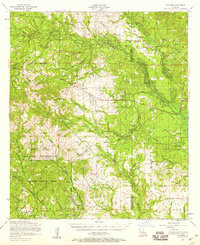
1954 · Leander
USGS Topo · 1:62,500
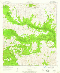
1954 · Temple
USGS Topo · 1:24,000