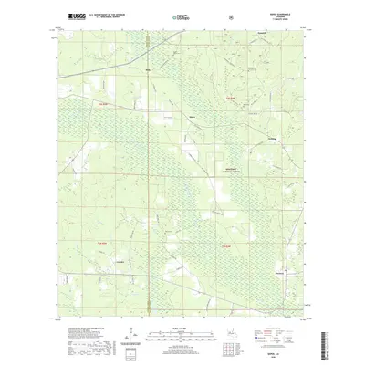
2020 Map of Sieper
USGS Topo · Published 2020About this map
The Kisatchie National Forest dominates the terrain of this 2020 survey, where the Calcasieu River and its numerous tributaries like Sieper Cr and Gum Br carve through the wooded landscape of Rapides and Vernon Parishes. This modern topographic record captures a network of rural settlements including Sieper, Hemphill, and Hineston, connected by local routes such as Clifton Cemetery Rd and John Wallace Rd.
Find a feature on this map
70 named features on this map. Tap any name to fly to it.
Don’t see what you’re looking for? This feature index may not catch every label — zoom into the map to look around manually.
Map Details
Editions of this 2020 Sieper Map
This is the sole edition of this map. No revisions or reprints were ever made.
Other maps of this area

1932 · Boyce SW
USGS Topo · 1:31,680

1937 · Chopin SW
USGS Topo · 1:31,680

1937 · Chopin SE
USGS Topo · 1:31,680

1941 · Boyce
USGS Topo · 1:62,500

1943 · Leander
USGS Topo · 1:62,500

1944 · Chopin
USGS Topo · 1:62,500

1948 · Chopin
USGS Topo · 1:62,500

1953 · Alexandria
USGS Topo · 1:250,000
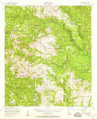
1954 · Leander
USGS Topo · 1:62,500
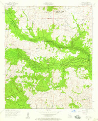
1954 · Temple
USGS Topo · 1:24,000