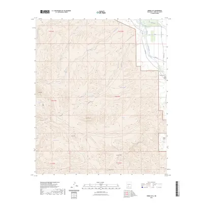
2023 Map of Sierra Alta
USGS Topo · Published 2023About this map
The Rio Grande cuts through the northeastern corner of this arid landscape, nourishing the narrow Hatch Valley and supporting a network of agricultural infrastructure including the Rincon Drain and Tonuco Drain. Away from the river, the terrain rises into the stark peaks of Sierra Alta and the Cedar Hills, characterized by a complex system of dry washes such as Bignell Arroyo and Hersey Arroyo.
Find a feature on this map
37 named features on this map. Tap any name to fly to it.
Don’t see what you’re looking for? This feature index may not catch every label — zoom into the map to look around manually.
Map Details
Editions of this 2023 Sierra Alta Map
This is the sole edition of this map. No revisions or reprints were ever made.
Other maps of this area

1891 · Las Cruces
USGS Topo · 1:125,000

1893 · Las Cruces
USGS Topo · 1:125,000

1916 · Tonuco
USGS Topo · 1:125,000

1932 · Tonuco
USGS Topo · 1:125,000

1941 · Las Cruces
USGS Topo · 1:62,500

1943 · Corralitos Ranch
USGS Topo · 1:62,500

1943 · Las Cruces
USGS Topo · 1:62,500

1948 · San Diego Mountain
USGS Topo · 1:62,500

1955 · Las Cruces
USGS Topo · 1:250,000

1958 · Las Cruces
USGS Topo · 1:250,000