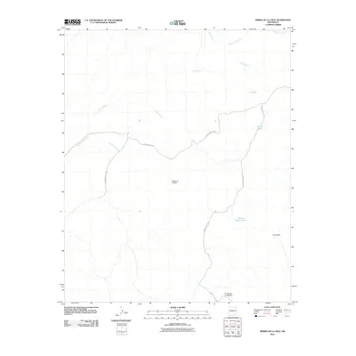
2010 Map of Sierra De La Cruz
USGS Topo · Published 2010About this map
Sierra de la Cruz stands as the central landmark in this high-desert portion of Socorro County. The landscape is defined by its arid-land hydrology and naming traditions, featuring critical water points like Cibola Spring and specialized catchments such as Donnis Tank and Valle de Adrian Tank. Transportation through the region relies on a network of routes across the White Sands Missile Range territory, specifically WSMR S Route 3802 and WSMR S Route 3807. These roads navigate between distinct landforms like the La Caida slope and the prominent Cuesta de la McBride ridge. The map documents numerous ephemeral drainages including Arroyo Milagro and Agua de los Torres, illustrating how the desert floor is sculpted by seasonal water flow across the La Cebolla flats.
Find a feature on this map
14 named features on this map. Tap any name to fly to it.
Don’t see what you’re looking for? This feature index may not catch every label — zoom into the map to look around manually.
Map Details
Editions of this 2010 Sierra De La Cruz Map
This is the sole edition of this map. No revisions or reprints were ever made.
Other maps of this area

1906 · Socorro
USGS Topo · 1:62,500

1916 · La Joya
USGS Topo · 1:125,000

1952 · La Joya
USGS Topo · 1:24,000

1952 · Becker SW
USGS Topo · 1:24,000

1952 · Cerro Montoso
USGS Topo · 1:24,000

1954 · Socorro
USGS Topo · 1:250,000

1958 · Socorro
USGS Topo · 1:250,000

1959 · Loma De Las Canas
USGS Topo · 1:24,000

1959 · Mesa Del Yeso
USGS Topo · 1:24,000

1959 · Socorro
USGS Topo · 1:62,500