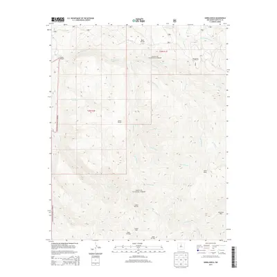
2013 Map of Sierra Mosca
USGS Topo · Published 2013About this map
Sierra Mosca dominates this high-altitude landscape within the Santa Fe National Forest, marking a region defined by complex drainage systems and significant vertical relief. The terrain is deeply incised by watercourses such as Rio Medio, Rito Frijoles, and Rito Gallina, which carve out numerous canyons including Cañon Navajo and Cañon del Oso. This 2013 survey illustrates the remote character of the Sangre de Cristo foothills before the intensive forest management adjustments of later years.
Find a feature on this map
29 named features on this map. Tap any name to fly to it.
Don’t see what you’re looking for? This feature index may not catch every label — zoom into the map to look around manually.
Map Details
Editions of this 2013 Sierra Mosca Map
This is the sole edition of this map. No revisions or reprints were ever made.
Other maps of this area

1889 · Santa Fe
USGS Topo · 1:125,000

1894 · Santa Fe
USGS Topo · 1:125,000

1953 · Tesuque
USGS Topo · 1:24,000

1953 · Truchas
USGS Topo · 1:24,000

1953 · Sierra Mosca
USGS Topo · 1:24,000
1953 · Cundiyo
USGS Topo · 1:24,000

1953 · Chimayo
USGS Topo · 1:24,000

1953 · Aspen Basin
USGS Topo · 1:24,000

1954 · Santa Fe
USGS Topo · 1:250,000

1954 · Raton
USGS Topo · 1:250,000