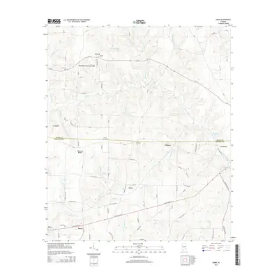
2014 Map of Sigma
USGS Topo · Published 2014About this map
Grandberry Crossroads and Sigma anchor this 2014 survey of the Alabama-Georgia borderlands, where the boundary between Henry and Houston counties divides a landscape of creek-fed agricultural lands. The map details a network of rural communities, including Hebron, Williams, and Pearce, which are connected by a web of local routes such as Al-134 and E State Highway 52. Family history is deeply rooted here, evidenced by numerous burial grounds like Hebron Cem and Sardis Cem.
Find a feature on this map
60 named features on this map. Tap any name to fly to it.
Don’t see what you’re looking for? This feature index may not catch every label — zoom into the map to look around manually.
Map Details
Editions of this 2014 Sigma Map
This is the sole edition of this map. No revisions or reprints were ever made.
Other maps of this area

1953 · Dothan
USGS Topo · 1:250,000

1954 · Dothan
USGS Topo · 1:250,000

1955 · Dothan
USGS Topo · 1:250,000

1969 · Dothan East
USGS Topo · 1:24,000

1969 · Headland
USGS Topo · 1:24,000

1969 · Newville
USGS Topo · 1:24,000

1970 · Gordon
USGS Topo · 1:24,000

1970 · Columbia NE
USGS Topo · 1:24,000

1970 · Haleburg
USGS Topo · 1:24,000

1970 · Sigma
USGS Topo · 1:24,000