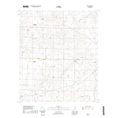
2024 Map of Sigma
USGS Topo · Published 2024About this map
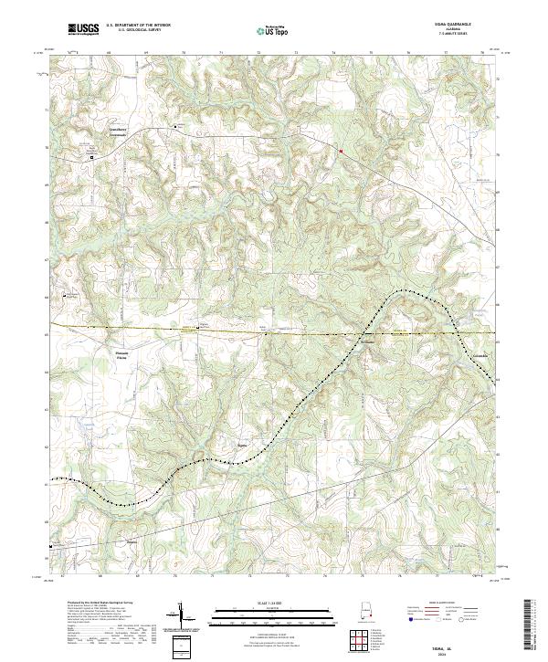
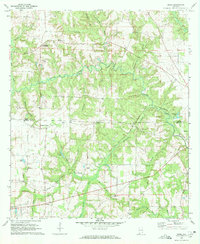
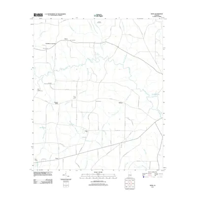
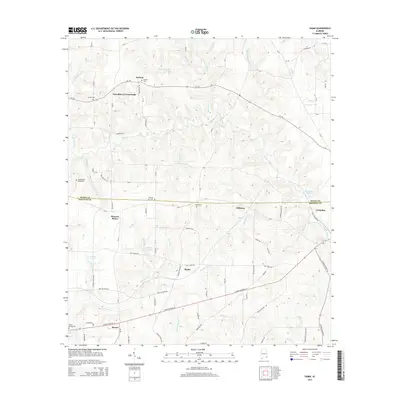
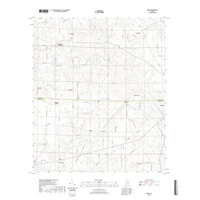
Grandberry Crossroads and Pleasant Plains anchor this agricultural landscape along the border of Henry and Houston counties. The area is defined by a dense network of county roads, including Co RD 22 and Co RD 55, which connect numerous rural burial grounds and small settlements. Genealogists will find significant value in the distribution of family-linked landmarks, such as the Sardis Missionary Baptist Cem and Old Pleasant Plains Cem, reflecting generations of community life in this corner of Alabama.
Find a feature on this map
63 named features on this map. Tap any name to fly to it.
Don’t see what you’re looking for? This feature index may not catch every label — zoom into the map to look around manually.
Map Details
Editions of this 2024 Sigma Map
This is the sole edition of this map. No revisions or reprints were ever made.
Historical Maps of Columbia Through Time
24 maps found
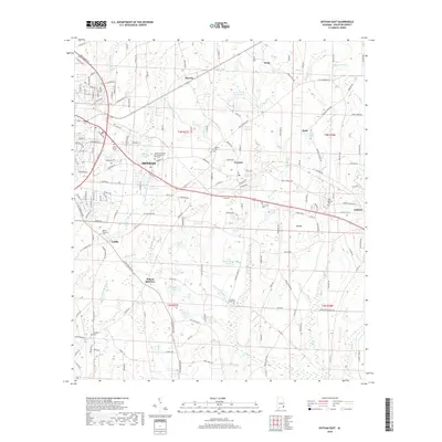
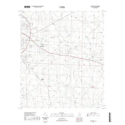
1969 Dothan East
Houston County, AL
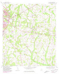
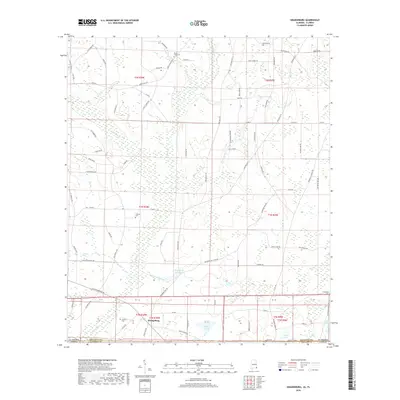
1969 Dothan West
Houston County, AL
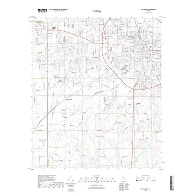
1970 Grangeburg
Houston County, AL
1970 Sigma
Houston County, AL
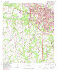
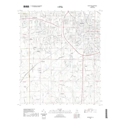
2011 Dothan East
Houston County, AL
2011 Dothan West
Houston County, AL
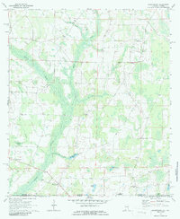
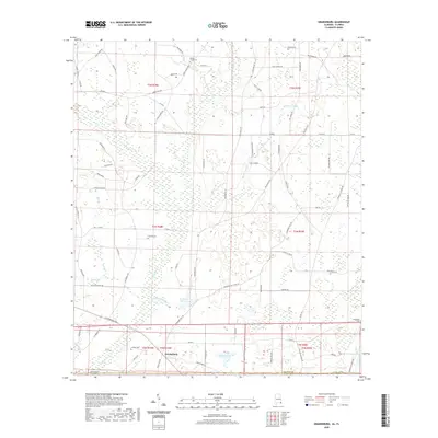
2011 Grangeburg
Houston County, AL
2011 Sigma
Houston County, AL
2014 Dothan East
Houston County, AL
2014 Dothan West
Houston County, AL
2014 Grangeburg
Houston County, AL
2014 Sigma
Houston County, AL
2018 Dothan East
Houston County, AL
2018 Dothan West
Houston County, AL
2018 Grangeburg
Houston County, AL
2018 Sigma
Houston County, AL
2020 Dothan East
Houston County, AL
2020 Dothan West
Houston County, AL
2020 Grangeburg
Houston County, AL
2020 Sigma
Houston County, AL
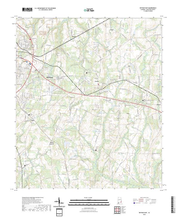
2024 Dothan East
Houston County, AL
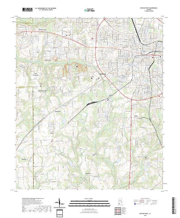
2024 Dothan West
Houston County, AL
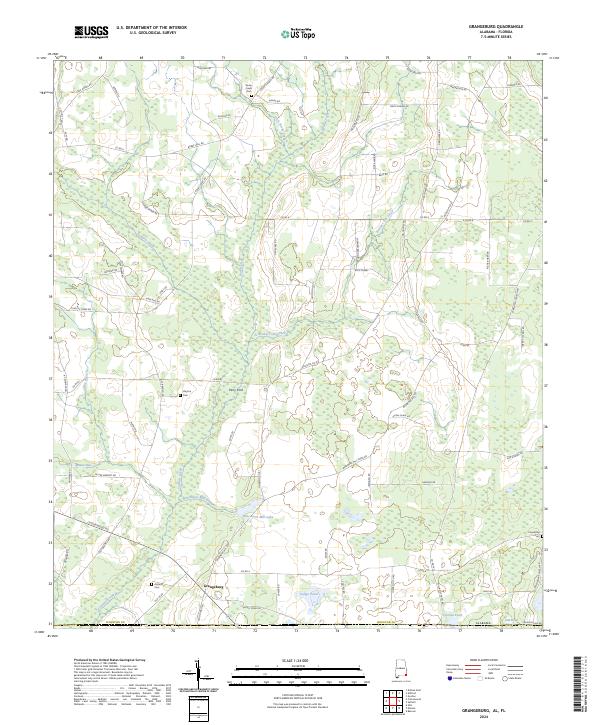
2024 Grangeburg
Houston County, AL
2024 Sigma
Houston County, AL