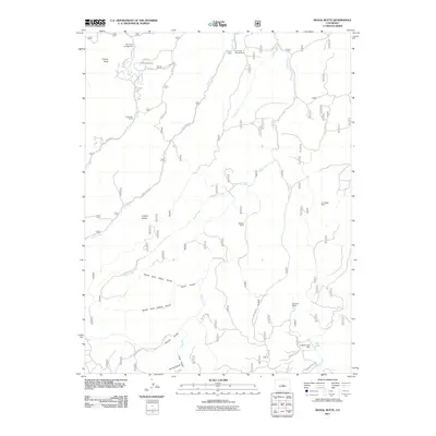
2011 Map of Signal Butte
USGS Topo · Published 2011About this map
Turkey Rock and the prominent Signal Butte anchor this corner of the Colorado landscape, where ranching and outdoor recreation define the land use. The map reveals a network of high-country properties including Turkey Rock Ranch, Lost Valley Ranch, and Rideout Ranch, many of which are accessed by winding forest routes like Manchester Creek Rd. Near the eastern edge, the industrial history of the region is marked by the Snowflake Mine, situated in the heights above the Rule Creek drainage. Water management is evident in the southeast with the Rule Creek Dam creating Ute Lake. The terrain is deeply dissected by a series of drainages, most notably North Fork Davis Gulch and South Fork Davis Gulch, which feed into the larger waterway of West Creek.
Find a feature on this map
36 named features on this map. Tap any name to fly to it.
Don’t see what you’re looking for? This feature index may not catch every label — zoom into the map to look around manually.
Map Details
Editions of this 2011 Signal Butte Map
This is the sole edition of this map. No revisions or reprints were ever made.
Other maps of this area

1893 · Platte Canyon
USGS Topo · 1:125,000

1894 · Pikes Peak
USGS Topo · 1:125,000

1901 · Pikes Peak
USGS Topo · 1:125,000

1901 · Pikes Peak
USGS Topo · 1:62,500

1953 · Denver
USGS Topo · 1:250,000

1954 · Mount Deception
USGS Topo · 1:24,000

1954 · Woodland Park
USGS Topo · 1:24,000

1954 · Signal Butte
USGS Topo · 1:24,000

1954 · Divide
USGS Topo · 1:24,000

1954 · Pueblo
USGS Topo · 1:250,000