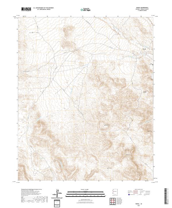
2021 Map of Signal
USGS Topo · Published 2021About this map
Signal sits in a high desert landscape of the Mojave Desert, where the survival of early settlements was dictated by reliable water sources like Signal Spring and the drainage patterns of seasonal desert washes. The presence of the Signal Area Cem near the townsite suggests a long-standing community tied to the land, while the remote infrastructure of McCracken Mine Rd and Alamo Rd points to a history of resource extraction and transit through this arid reach of Mohave County.
Find a feature on this map
24 named features on this map. Tap any name to fly to it.
Don’t see what you’re looking for? This feature index may not catch every label — zoom into the map to look around manually.
Map Details
Editions of this 2021 Signal Map
This is the sole edition of this map. No revisions or reprints were ever made.
Other maps of this area

1923 · Signal
USGS Topo · 1:250,000

1942 · Signal
USGS Topo · 1:250,000

1950 · Prescott
USGS Topo · 1:250,000

1954 · Prescott
USGS Topo · 1:250,000

1958 · Prescott
USGS Topo · 1:250,000

1959 · Prescott
USGS Topo · 1:250,000

1960 · Prescott
USGS Topo · 1:250,000

1965 · Prescott
USGS Topo · 1:250,000
1966 · Castaneda Hills
USGS Topo · 1:62,500

1966 · Artillery Peak
USGS Topo · 1:62,500