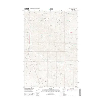
2014 Map of Signal Mountain
USGS Topo · Published 2014About this map
The Bull Mountains define the high country of this Montana landscape, where the terrain is marked by prominent elevations like Signal Mtn and Elbow Hill. This 2014 survey captures a network of rural access routes and drainage systems, including Halfbreed Cr, W Parrot Cr, and E Parrot Cr, which flow through the northern reaches of the quadrangle. The naming of roads such as Johnnys Coal Rd suggests the legacy of local industry or land use that shaped the development of Musselshell County. A significant density of groundwater sources, such as 07N26E27ABA_01 Spring and 07N27E31BAA_01 Spring, are documented throughout the township and range divisions of t7n r26e and t7n r27e, indicating the importance of water management in this high-plains environment.
Find a feature on this map
70 named features on this map. Tap any name to fly to it.
Don’t see what you’re looking for? This feature index may not catch every label — zoom into the map to look around manually.
Map Details
Editions of this 2014 Signal Mountain Map
This is the sole edition of this map. No revisions or reprints were ever made.
Other maps of this area

1954 · Roundup
USGS Topo · 1:250,000

1958 · Roundup
USGS Topo · 1:250,000

1979 · Roundup
USGS Topo · 1:100,000

1979 · Gage NE
USGS Topo · 1:24,000

1979 · Harper Coulee
USGS Topo · 1:24,000

1979 · Hay Basin NE
USGS Topo · 1:24,000

1979 · Gage
USGS Topo · 1:24,000

1979 · Roundup
USGS Topo · 1:24,000

1980 · Dunn Mountain South
USGS Topo · 1:24,000

1980 · Dunn Mountain North
USGS Topo · 1:24,000