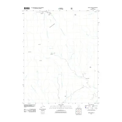
2011 Map of Signal Peak
USGS Topo · Published 2011About this map
The Pine Valley Mountains define this high-elevation landscape, where the Right Fork Santa Clara River and Middle Fork Santa Clara River originate. This 2011 survey captures a region primarily dedicated to recreation and conservation, centered around Signal Peak and Trail Peak. The mapping of numerous water sources, such as Big Hollow Spring, Columbine Spring, and Mud Spring, indicates the critical nature of water management in this arid environment. Human activity is concentrated at sites like the Danish Ranch and several Forest Service facilities, including Oak Grove Campground and the Juniper Park Campground. For those tracing the geography of the American West, the map provides detailed placement of recreational infrastructure like the Browns Point Trailhead and Whipple Trailhead alongside natural landmarks like Deer Flat and Jones Hollow.
Find a feature on this map
32 named features on this map. Tap any name to fly to it.
Don’t see what you’re looking for? This feature index may not catch every label — zoom into the map to look around manually.
Map Details
Editions of this 2011 Signal Peak Map
This is the sole edition of this map. No revisions or reprints were ever made.
Other maps of this area

1885 · St. George
USGS Topo · 1:250,000

1891 · St. George
USGS Topo · 1:250,000

1953 · Cedar City
USGS Topo · 1:250,000

1954 · La Verkin 3 NW
USGS Topo · 1:24,000

1954 · La Verkin 3 NE
USGS Topo · 1:24,000

1954 · La Verkin 2 SE
USGS Topo · 1:24,000

1954 · St. George
USGS Topo · 1:62,500

1954 · Hurricane
USGS Topo · 1:62,500

1956 · St. George NE
USGS Topo · 1:24,000

1957 · New Harmony
USGS Topo · 1:62,500