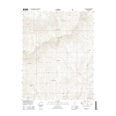
2014 Map of Signal Peak
USGS Topo · Published 2014About this map
The Pine Valley Mountains dominate this high-elevation landscape within the Dixie National Forest, where the headwaters of the Middle Fork Santa Clara River and Right Fork Santa Clara River originate. The 2014 survey reveals an intricate network of drainages and springs that sustain this arid region, including Ash Grove Spring, Columbine Spring, and Maple Spring. The topography is defined by significant elevations like Signal Peak and Trail Peak, while the southeastern portion shows evidence of human infrastructure with the Jones Hollow Reservoir. The map provides a look at the land's complex natural drainage systems, from the expansive Big Hollow to the curiously named Yankee Doodle Hollow, illustrating the rugged character of the Washington County interior.
Find a feature on this map
59 named features on this map. Tap any name to fly to it.
Don’t see what you’re looking for? This feature index may not catch every label — zoom into the map to look around manually.
Map Details
Editions of this 2014 Signal Peak Map
This is the sole edition of this map. No revisions or reprints were ever made.
Other maps of this area

1885 · St. George
USGS Topo · 1:250,000

1891 · St. George
USGS Topo · 1:250,000

1953 · Cedar City
USGS Topo · 1:250,000

1954 · La Verkin 3 NW
USGS Topo · 1:24,000

1954 · La Verkin 3 NE
USGS Topo · 1:24,000

1954 · La Verkin 2 SE
USGS Topo · 1:24,000

1954 · St. George
USGS Topo · 1:62,500

1954 · Hurricane
USGS Topo · 1:62,500

1956 · St. George NE
USGS Topo · 1:24,000

1957 · New Harmony
USGS Topo · 1:62,500