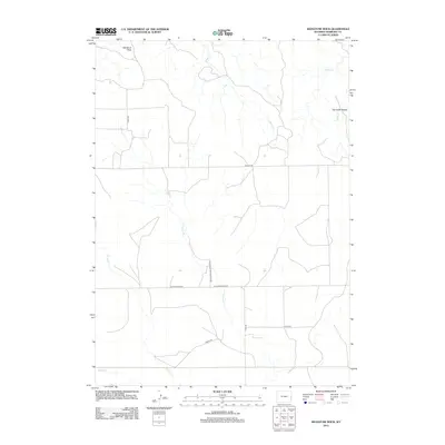
2012 Map of Signature Rock
USGS Topo · Published 2012About this map
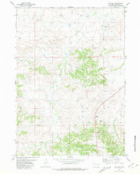
Signature Rock and the Hat Creek Breaks define the topography of this high plains section of Niobrara County. The landscape is carved by a network of drainage systems, most notably Sage Cr, Indian Cr, and N Duck Cr, which weave through the rangeland. This modern survey reflects the enduring rural character of the region, where legacy road names like Stage Rd hint at earlier transportation corridors across the Wyoming frontier.
Find a feature on this map
15 named features on this map. Tap any name to fly to it.
Don’t see what you’re looking for? This feature index may not catch every label — zoom into the map to look around manually.
Map Details
Editions of this 2012 Signature Rock Map
This is the sole edition of this map. No revisions or reprints were ever made.
Other maps of this area

1954 · Torrington
USGS Topo · 1:250,000

1958 · Torrington
USGS Topo · 1:250,000

1974 · Mc Master Reservoir
USGS Topo · 1:24,000
1974 · Reynolds Spring
USGS Topo · 1:24,000
1978 · Node
USGS Topo · 1:24,000

1978 · Shepherds Point
USGS Topo · 1:24,000

1978 · Kirtley SW
USGS Topo · 1:24,000

1981 · Lusk
USGS Topo · 1:24,000
1981 · Signature Rock
USGS Topo · 1:24,000
1981 · Hat Rock
USGS Topo · 1:24,000