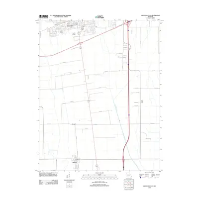
2012 Map of Sikeston South
USGS Topo · Published 2012About this map
Matthews and the southern reaches of Sikeston anchor this 2012 survey of the Missouri Bootheel, a landscape defined by industrial-scale drainage and agricultural precision. The region's history of reclaiming wetlands is visible in the prominent path of Saint Johns Ditch and the remnant lowlands of East Lake. Between the larger hubs, smaller historic focal points like Champion and Bowman sit among a strict grid of county roads and drainage canals. Toward the north, local genealogy interests are served by the inclusion of the Garden of Memories and Memorial Park Cemetery. The transportation network is a central theme, with the modern interstate and highway corridors contrasting against the older alignment of N Railroad St and S Railroad St in Matthews, which originally dictated the town's orientation and growth.
Find a feature on this map
46 named features on this map. Tap any name to fly to it.
Don’t see what you’re looking for? This feature index may not catch every label — zoom into the map to look around manually.
Map Details
Editions of this 2012 Sikeston South Map
This is the sole edition of this map. No revisions or reprints were ever made.
Other maps of this area

1931 · Sikeston
USGS Topo · 1:62,500

1934 · Sikeston
USGS Topo · 1:62,500

1939 · Sikeston
USGS Topo · 1:62,500

1939 · Charleston
USGS Topo · 1:62,500

1939 · New Madrid
USGS Topo · 1:62,500

1939 · Bayouville
USGS Topo · 1:62,500

1954 · Charleston
USGS Topo · 1:62,500

1954 · New Madrid
USGS Topo · 1:62,500

1955 · Bayouville
USGS Topo · 1:62,500

1956 · Dyersburg
USGS Topo · 1:250,000