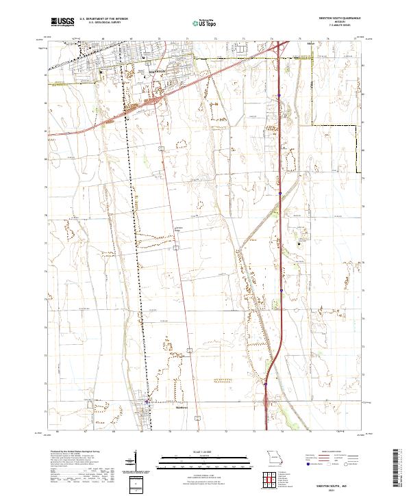
2021 Map of Sikeston South
USGS Topo · Published 2021About this map
Sikeston serves as the focal point of this modern topographic survey, positioned at the northern edge of the Sikeston Ridge. The landscape transitions from the urbanized streets of the city to the expansive agricultural tracts of the Missouri Bootheel, characterized by the prominent drainage of the Saint Johns Ditch flowing south toward Matthews. For genealogists and local researchers, the map identifies several significant interment sites, including Sikeston City Cem, Little Vine Cem, and the Garden of Memories Cem. The transportation network is highly developed, showing the intersection of major transit corridors near Miner and the grid-based residential development around Sikeston Memorial Park. The map's detail provides a clear view of how irrigation and drainage engineering define the contemporary land use of New Madrid and Scott Counties.
Find a feature on this map
89 named features on this map. Tap any name to fly to it.
Don’t see what you’re looking for? This feature index may not catch every label — zoom into the map to look around manually.
Map Details
Editions of this 2021 Sikeston South Map
This is the sole edition of this map. No revisions or reprints were ever made.
Other maps of this area

1931 · Sikeston
USGS Topo · 1:62,500

1934 · Sikeston
USGS Topo · 1:62,500

1939 · Sikeston
USGS Topo · 1:62,500

1939 · Charleston
USGS Topo · 1:62,500

1939 · New Madrid
USGS Topo · 1:62,500

1939 · Bayouville
USGS Topo · 1:62,500

1954 · Charleston
USGS Topo · 1:62,500

1954 · New Madrid
USGS Topo · 1:62,500

1955 · Bayouville
USGS Topo · 1:62,500

1956 · Dyersburg
USGS Topo · 1:250,000