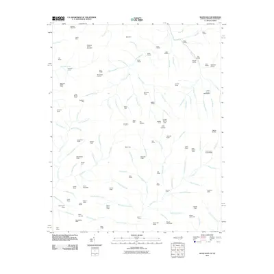
2010 Map of Silers Bald
USGS Topo · Published 2010About this map
Great Smoky Mountains high-country terrain defines this 2010 survey along the Tennessee and North Carolina border. The landscape is dominated by heavy ridges and deep drainage systems, most notably the headwaters of the Little River and various prongs like Lynn Camp Prong and Goshen Prong. Higher elevations are marked by several prominent peaks and gaps, including Blanket Mountain, Buckeye Gap, and Jakes Gap. For those interested in the hiking history and high-altitude landmarks of the region, the map identifies specific points of interest such as the Silers Bald Shelter and the Double Spring Gap Shelter. The naming of features like Mellinger Death Ridge and Ben Parton Lookout provides a look into the local lore and personal histories of the range. The area is characterized by a dense network of watercourses, with names like Hostility Branch, Devil Branch, and Snake Tongue illustrating the intricate and often formidable nature of the local topography.
Find a feature on this map
122 named features on this map. Tap any name to fly to it.
Don’t see what you’re looking for? This feature index may not catch every label — zoom into the map to look around manually.
Map Details
Editions of this 2010 Silers Bald Map
This is the sole edition of this map. No revisions or reprints were ever made.
Other maps of this area

1886 · Knoxville
USGS Topo · 1:125,000

1891 · Cowee
USGS Topo · 1:125,000

1892 · Knoxville
USGS Topo · 1:125,000

1893 · Mt Guyot
USGS Topo · 1:125,000

1894 · Knoxville
USGS Topo · 1:125,000

1895 · Knoxville
USGS Topo · 1:125,000

1897 · Cowee
USGS Topo · 1:125,000

1901 · Knoxville
USGS Topo · 1:125,000

1907 · Cowee
USGS Topo · 1:125,000

1912 · Mt Guyot
USGS Topo · 1:125,000