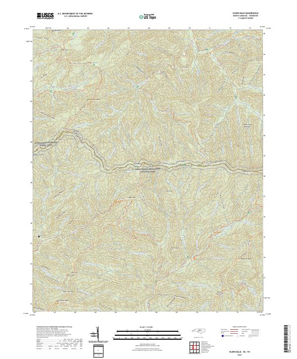
2022 Map of Silers Bald
USGS Topo · Published 2022About this map
Great Smoky Mountains National Park encompasses this entire high-elevation landscape along the border of Tennessee and North Carolina. The topographical survey highlights the spine of the mountains, where the Appalachian National Scenic Trail traverses significant peaks and gaps, including Silers Bald and the narrow passage of The Narrows. This is a terrain of deep drainages and named ridges, where historical memory persists in labels like Mellinger Death Ridge and the Ben Parton Lookout.
Find a feature on this map
126 named features on this map. Tap any name to fly to it.
Don’t see what you’re looking for? This feature index may not catch every label — zoom into the map to look around manually.
Map Details
Editions of this 2022 Silers Bald Map
This is the sole edition of this map. No revisions or reprints were ever made.
Other maps of this area

1886 · Knoxville
USGS Topo · 1:125,000

1891 · Cowee
USGS Topo · 1:125,000

1892 · Knoxville
USGS Topo · 1:125,000

1893 · Mt Guyot
USGS Topo · 1:125,000

1894 · Knoxville
USGS Topo · 1:125,000

1895 · Knoxville
USGS Topo · 1:125,000

1897 · Cowee
USGS Topo · 1:125,000

1901 · Knoxville
USGS Topo · 1:125,000

1907 · Cowee
USGS Topo · 1:125,000

1912 · Mt Guyot
USGS Topo · 1:125,000