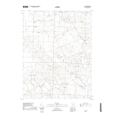
2017 Map of Silex
USGS Topo · Published 2017About this map
The North Fork Cuivre River and West Fork Cuivre River converge in this section of Lincoln County, defining a landscape of winding creek beds and scattered rural settlements. Established hubs like Silex and Millwood serve as the primary anchors for the surrounding agricultural community, where legacy landmarks such as Saint Alphonsus Cem and Saint Marys Cem provide significant points of interest for genealogical research. The river system is fed by numerous named tributaries, including Big Lead Creek, Nulls Cr, and Paris Br, which cut through the terrain to create a complex hydrographic network.
Find a feature on this map
122 named features on this map. Tap any name to fly to it.
Don’t see what you’re looking for? This feature index may not catch every label — zoom into the map to look around manually.
Map Details
Editions of this 2017 Silex Map
This is the sole edition of this map. No revisions or reprints were ever made.
Other maps of this area

1890 · Louisiana
USGS Topo · 1:125,000

1890 · Hermann
USGS Topo · 1:125,000

1903 · O'Fallon
USGS Topo · 1:125,000

1934 · Elsberry
USGS Topo · 1:48,000

1937 · Silex
USGS Topo · 1:62,500

1939 · Silex
USGS Topo · 1:48,000

1941 · Troy
USGS Topo · 1:62,500

1942 · Elsberry
USGS Topo · 1:62,500

1943 · Warrenton
USGS Topo · 1:62,500

1945 · Troy
USGS Topo · 1:62,500