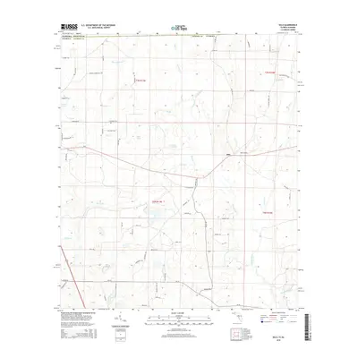
2015 Map of Sills
USGS Topo · Published 2015About this map
Sills serves as the central hub of this northern Florida landscape, situated just below the Alabama state line where Jackson Co meets Houston Co. The terrain is defined by a dense network of hydrologic features, including the southward-flowing Chipola River and its various tributaries like Cowarts Cr and Marshall Cr. Smaller water bodies such as Hoover Pond, Open Pond, and the localized Daniel Springs reflect the karst-influenced topography of the region.
Find a feature on this map
66 named features on this map. Tap any name to fly to it.
Don’t see what you’re looking for? This feature index may not catch every label — zoom into the map to look around manually.
Map Details
Editions of this 2015 Sills Map
This is the sole edition of this map. No revisions or reprints were ever made.
Other maps of this area

1952 · Cottondale East
USGS Topo · 1:24,000

1952 · Malone
USGS Topo · 1:24,000

1952 · Campbellton
USGS Topo · 1:24,000

1952 · Cottondale West
USGS Topo · 1:24,000

1952 · Sills
USGS Topo · 1:24,000

1952 · Marianna
USGS Topo · 1:24,000

1953 · Dothan
USGS Topo · 1:250,000

1954 · Dothan
USGS Topo · 1:250,000

1954 · Tallahassee
USGS Topo · 1:250,000

1955 · Dothan
USGS Topo · 1:250,000