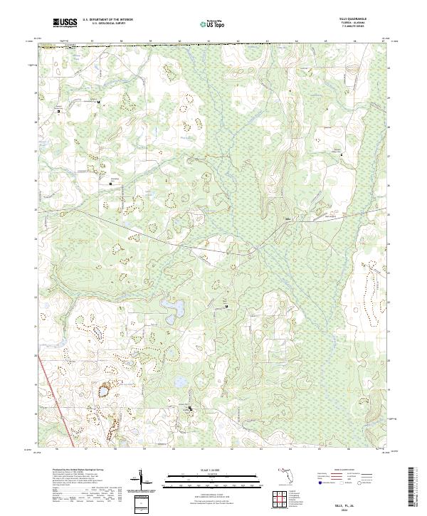
2024 Map of Sills
USGS Topo · Published 2024About this map
The Chipola River flows through this corner of Jackson County, Florida, and Houston County, Alabama, defining a landscape shaped by both hydrology and small-scale agriculture. The community of Sills serves as a central point in an area characterized by numerous cemeteries that suggest deep-rooted family ties to the land, such as the Howard Family Cem, Ephesus Community Cem, and the uniquely named Possum Trot Cem. These burial grounds are scattered among various wetlands and bays, including Wildcat Bay and Pittman Bay, which speak to the low-lying, water-rich nature of the terrain. Large tracts of land, including the Farm Service Agency Interest of Florida, indicate significant institutional or state-managed land use interspersed with private holdings and local aviation at Hart Airport. The map traces a network of rural roads like Saint Phillips Rd and Holyneck Rd that connect these dispersed homesteads and natural springs like Daniel Springs.
Find a feature on this map
73 named features on this map. Tap any name to fly to it.
Don’t see what you’re looking for? This feature index may not catch every label — zoom into the map to look around manually.
Map Details
Editions of this 2024 Sills Map
This is the sole edition of this map. No revisions or reprints were ever made.
Other maps of this area

1952 · Cottondale East
USGS Topo · 1:24,000

1952 · Malone
USGS Topo · 1:24,000

1952 · Campbellton
USGS Topo · 1:24,000

1952 · Cottondale West
USGS Topo · 1:24,000

1952 · Sills
USGS Topo · 1:24,000

1952 · Marianna
USGS Topo · 1:24,000

1953 · Dothan
USGS Topo · 1:250,000

1954 · Dothan
USGS Topo · 1:250,000

1954 · Tallahassee
USGS Topo · 1:250,000

1955 · Dothan
USGS Topo · 1:250,000