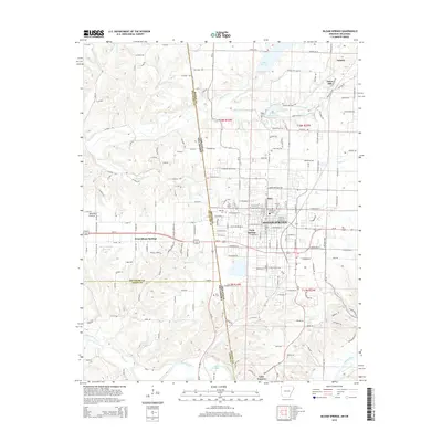
2014 Map of Siloam Springs
USGS Topo · Published 2014About this map
Siloam Springs sits at the heart of this landscape where the Arkansas-Oklahoma state line divides the community from West Siloam Springs. The city's academic and civic life is anchored by John Brown Univ, while local history is etched into the landscape at Oak Hill Cem and the Old Baptist Cem. The area is defined by its complex hydrology, with Sager Creek and Flint Creek winding through the terrain toward the Illinois River and Lake Frances at the southern edge. Along the state border, the topography shifts from the open stretches of Moseley Prairie to the residential developments of Hico and Twin Springs. For genealogists, the map preserves the locations of rural burying grounds like Blagg Cem and Bell Cem, alongside established neighborhoods like Dawn Hill and the northern outskirts of Gentry.
Find a feature on this map
172 named features on this map. Tap any name to fly to it.
Don’t see what you’re looking for? This feature index may not catch every label — zoom into the map to look around manually.
Map Details
Editions of this 2014 Siloam Springs Map
This is the sole edition of this map. No revisions or reprints were ever made.
Other maps of this area

1899 · Fayetteville
USGS Topo · 1:125,000

1899 · Siloam Springs
USGS Topo · 1:125,000

1901 · Fayetteville
USGS Topo · 1:125,000

1903 · Siloam Springs
USGS Topo · 1:125,000

1904 · Siloam Springs
USGS Topo · 1:125,000

1904 · Fayetteville
USGS Topo · 1:125,000

1954 · Tulsa
USGS Topo · 1:250,000

1958 · Tulsa
USGS Topo · 1:250,000

1963 · Tulsa
USGS Topo · 1:250,000

1970 · Gallatin
USGS Topo · 1:24,000