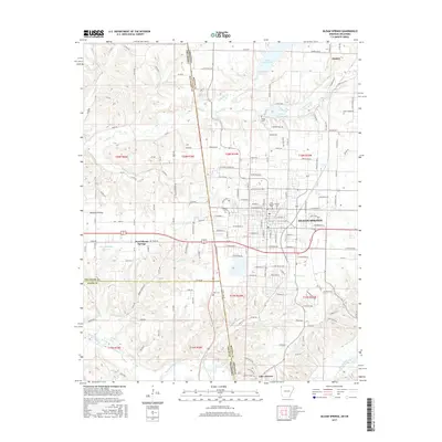
2017 Map of Siloam Springs
USGS Topo · Published 2017About this map
Siloam Springs sits at a geographic crossroads where the Ozark plateau meets the Oklahoma border, documented here in this 2017 study. The landscape is defined by its water systems, including the Illinois River flowing through the southern portion and numerous reservoirs such as Lake Frances, Siloam Springs Lake, and Lake Flint Creek. These water bodies, along with Sager Cr and Flint Creek, have long anchored the local economy and settlement patterns. The map shows the industrial spine of the region via the Kansas City Southern railroad line, which connects the northern town of Gentry to the urban center of Siloam Springs.
Find a feature on this map
160 named features on this map. Tap any name to fly to it.
Don’t see what you’re looking for? This feature index may not catch every label — zoom into the map to look around manually.
Map Details
Editions of this 2017 Siloam Springs Map
This is the sole edition of this map. No revisions or reprints were ever made.
Other maps of this area

1899 · Fayetteville
USGS Topo · 1:125,000

1899 · Siloam Springs
USGS Topo · 1:125,000

1901 · Fayetteville
USGS Topo · 1:125,000

1903 · Siloam Springs
USGS Topo · 1:125,000

1904 · Siloam Springs
USGS Topo · 1:125,000

1904 · Fayetteville
USGS Topo · 1:125,000

1954 · Tulsa
USGS Topo · 1:250,000

1958 · Tulsa
USGS Topo · 1:250,000

1963 · Tulsa
USGS Topo · 1:250,000

1970 · Gallatin
USGS Topo · 1:24,000