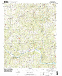
1997 Map of Siloam
USGS Topo · Published 2000About this map
The Ararat River winds south through Surry County to its confluence with the Yadkin River, anchoring a landscape defined by small rural settlements and numerous country churches. This late-twentieth-century survey documents the spatial relationship between Siloam and Old Siloam, while nearby Shoals sits just north of the river bend. The area is dense with community landmarks, including Pine Hill Ch, Stanford Ch, and Poplar Springs Ch, which likely served as the social centers for the surrounding farmsteads.
Find a feature on this map
33 named features on this map. Tap any name to fly to it.
Don’t see what you’re looking for? This feature index may not catch every label — zoom into the map to look around manually.
Map Details
Editions of this 1997 Siloam Map
This is the sole edition of this map. No revisions or reprints were ever made.
Other maps of this area

1891 · Yadkinville
USGS Topo · 1:125,000

1893 · Yadkinville
USGS Topo · 1:125,000

1953 · Winston-Salem
USGS Topo · 1:250,000

1955 · Winston-Salem
USGS Topo · 1:250,000

1962 · Winston-Salem
USGS Topo · 1:250,000

1964 · Pinnacle
USGS Topo · 1:24,000

1964 · Pilot Mountain
USGS Topo · 1:24,000

1966 · Yadkinville
USGS Topo · 1:24,000

1966 · East Bend
USGS Topo · 1:24,000
1968 · Vienna
USGS Topo · 1:24,000