
1920 Map of Siltcoos Lake
USGS Topo · Published 1920About this map
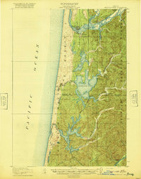
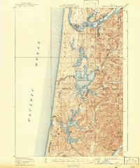
The Siuslaw River and its intricate network of coastal inlets dominate this landscape as it appeared following the first World War. Stretching along the central Oregon coast, the area shows a distinct reliance on water and rail transport before the dominance of modern automobile infrastructure. The Southern Pacific line snakes through the forest, connecting small settlements and stations like Cushman Sta. and Ada Sta., while large freshwater bodies such as Siltcoos Lake and Tahkenitch Lake are prominent features between the coast and the inland timber.
Find a feature on this map
44 named features on this map. Tap any name to fly to it.
Don’t see what you’re looking for? This feature index may not catch every label — zoom into the map to look around manually.
Map Details
Editions of this 1920 Siltcoos Lake Map
3 editions found
Other maps of this area

1918 · Mapleton
USGS Topo · 1:48,000

1919 · Earl
USGS Topo · 1:48,000

1920 · Heceta Head
USGS Topo · 1:62,500

1923 · Reedsport
USGS Topo · 1:62,500

1940 · Mapleton
USGS Topo · 1:62,500

1941 · Siltcoos Lake
USGS Topo · 1:62,500

1942 · Heceta Head
USGS Topo · 1:62,500

1942 · Siltcoos Lake
USGS Topo · 1:62,500

1942 · Reedsport
USGS Topo · 1:62,500

1943 · Goodwin Peak
USGS Topo · 1:62,500