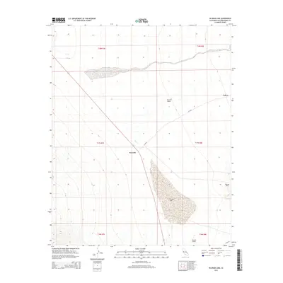
2015 Map of Silurian Lake
USGS Topo · Published 2015About this map
Silurian Lake dominates the central landscape of this arid basin, providing a distinct geographic focal point within the broader Mojave Desert. The dry lake bed sits between the Silurian Hills to the east and the open Silurian Valley to the south. This terrain is defined by its drainage patterns, notably the path of Salt Creek as it moves across the desert floor toward the lake.
Find a feature on this map
16 named features on this map. Tap any name to fly to it.
Don’t see what you’re looking for? This feature index may not catch every label — zoom into the map to look around manually.
Map Details
Editions of this 2015 Silurian Lake Map
This is the sole edition of this map. No revisions or reprints were ever made.
Other maps of this area

1933 · Avawatz Mountains
USGS Topo · 1:250,000

1947 · Trona
USGS Topo · 1:250,000

1948 · Red Pass Lake
USGS Topo · 1:62,500

1948 · Trona
USGS Topo · 1:250,000

1948 · Avawatz Pass
USGS Topo · 1:62,500

1951 · Avawatz Pass
USGS Topo · 1:62,500

1951 · Red Pass Lake
USGS Topo · 1:62,500

1953 · Trona
USGS Topo · 1:250,000

1956 · Silurian Hills
USGS Topo · 1:62,500

1956 · Baker
USGS Topo · 1:62,500