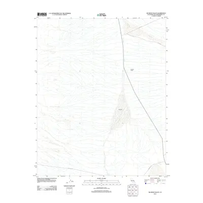
2012 Map of Silurian Valley
USGS Topo · Published 2012About this map
The Silurian Valley is a stark and dramatic corridor of the Mojave Desert, defined by the ancient drainage patterns of the Riggs Wash system. This 2012 survey illustrates the hydrological character of the region, where seasonal watercourses trace paths across the alluvial fans and basin floor. The geography here is marked by the distinct accumulation of sediments in the valley's center, a reflection of the area's arid environmental processes. For those studying the California desert, the map provides a precise layout of the sparse road network and natural landmarks that serve as the only navigational aids in this expansive, undeveloped terrain.
Find a feature on this map
1 named feature on this map. Tap any name to fly to it.
Don’t see what you’re looking for? This feature index may not catch every label — zoom into the map to look around manually.
Map Details
Editions of this 2012 Silurian Valley Map
This is the sole edition of this map. No revisions or reprints were ever made.
Other maps of this area

1933 · Avawatz Mountains
USGS Topo · 1:250,000

1947 · Trona
USGS Topo · 1:250,000

1948 · Red Pass Lake
USGS Topo · 1:62,500

1948 · Trona
USGS Topo · 1:250,000

1948 · Avawatz Pass
USGS Topo · 1:62,500

1951 · Avawatz Pass
USGS Topo · 1:62,500

1951 · Red Pass Lake
USGS Topo · 1:62,500

1953 · Trona
USGS Topo · 1:250,000

1956 · Silurian Hills
USGS Topo · 1:62,500

1956 · Baker
USGS Topo · 1:62,500