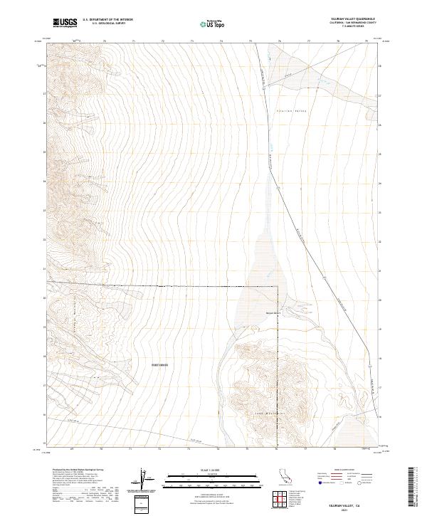
2021 Map of Silurian Valley
USGS Topo · Published 2021About this map
Silurian Valley serves as a stark desert corridor between the towering Avawatz Mountains to the west and the northern reaches of the Soda Mountains to the south. This 2021 survey documents the complex alluvial drainage patterns of the Mojave Desert, where ephemeral watercourses like Salt Cr and Riggs Wash create wide, fan-shaped deposits across the valley floor. The map highlights the essential transit routes through this arid landscape, primarily following Death Valley Rd as it cuts northwest toward the national park boundary. Other significant arteries include Silver Lake Rd and Riggs Rd, which provide access to the remote township corners of T16N and T15N. The layout of Powerline Rd further indicates the modern infrastructure threading through this ancient geological environment.
Find a feature on this map
14 named features on this map. Tap any name to fly to it.
Don’t see what you’re looking for? This feature index may not catch every label — zoom into the map to look around manually.
Map Details
Editions of this 2021 Silurian Valley Map
This is the sole edition of this map. No revisions or reprints were ever made.
Other maps of this area

1933 · Avawatz Mountains
USGS Topo · 1:250,000

1947 · Trona
USGS Topo · 1:250,000

1948 · Red Pass Lake
USGS Topo · 1:62,500

1948 · Trona
USGS Topo · 1:250,000

1948 · Avawatz Pass
USGS Topo · 1:62,500

1951 · Avawatz Pass
USGS Topo · 1:62,500

1951 · Red Pass Lake
USGS Topo · 1:62,500

1953 · Trona
USGS Topo · 1:250,000

1956 · Silurian Hills
USGS Topo · 1:62,500

1956 · Baker
USGS Topo · 1:62,500