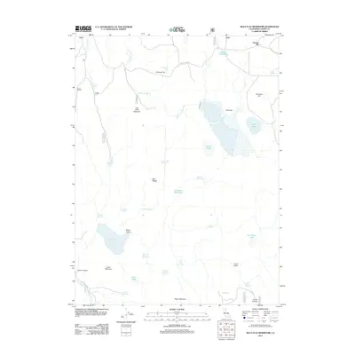
2012 Map of Silva Flat Reservoir
USGS Topo · Published 2012About this map
Hayden Hill stands as the primary landmark in this corner of Lassen County, where the high-altitude landscape is defined by a complex network of seasonal water management and natural drainage. This 2012 survey reveals an environment structured for grazing and water storage, centered around the large Silva Flat Reservoir and the adjacent Silva Flat. The terrain is marked by distinct ridges and peaks, including Summers Hill and Negro Mountain, which separate various drainage basins.
Find a feature on this map
50 named features on this map. Tap any name to fly to it.
Don’t see what you’re looking for? This feature index may not catch every label — zoom into the map to look around manually.
Map Details
Editions of this 2012 Silva Flat Reservoir Map
This is the sole edition of this map. No revisions or reprints were ever made.
Other maps of this area

1886 · Alturas
USGS Topo · 1:250,000

1886 · Honey Lake
USGS Topo · 1:250,000

1886 · Lassen Peak
USGS Topo · 1:250,000

1886 · Modoc Lava Bed
USGS Topo · 1:250,000

1891 · Honey Lake
USGS Topo · 1:250,000

1892 · Modoc Lava-Bed
USGS Topo · 1:250,000

1892 · Lassen Peak
USGS Topo · 1:250,000

1892 · Alturas
USGS Topo · 1:250,000

1893 · Honey Lake
USGS Topo · 1:250,000

1894 · Lassen Peak
USGS Topo · 1:250,000