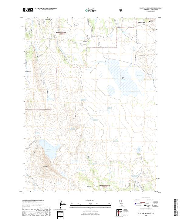
2021 Map of Silva Flat Reservoir
USGS Topo · Published 2021About this map
Modoc National Forest and Lassen National Forest converge in this high-altitude landscape dominated by complex water management and rugged volcanic terrain. The northern reaches are anchored by Hayden Hill, featuring the Hayden Hill Cem and proximity to Preston Canyon. This area is defined by an extensive network of reservoirs, including the central Silva Flat Reservoir and the twin Log Cabin Reservoir Number 1 and Log Cabin Reservoir Number 2 further south. These impoundments, along with named waterholes like Shider Waterhole and Buckhorn Waterhole, suggest a landscape intensely managed for livestock or resource extraction. The southern portion of the map transitions through Sheep Valley toward the heights of Negro Mtn and Indian Mtn, while Coyote Reservoir and Corral Valley Reservoir mark the drainage patterns across the Modoc-Lassen border.
Find a feature on this map
51 named features on this map. Tap any name to fly to it.
Don’t see what you’re looking for? This feature index may not catch every label — zoom into the map to look around manually.
Map Details
Editions of this 2021 Silva Flat Reservoir Map
This is the sole edition of this map. No revisions or reprints were ever made.
Other maps of this area

1886 · Alturas
USGS Topo · 1:250,000

1886 · Honey Lake
USGS Topo · 1:250,000

1886 · Lassen Peak
USGS Topo · 1:250,000

1886 · Modoc Lava Bed
USGS Topo · 1:250,000

1891 · Honey Lake
USGS Topo · 1:250,000

1892 · Modoc Lava-Bed
USGS Topo · 1:250,000

1892 · Lassen Peak
USGS Topo · 1:250,000

1892 · Alturas
USGS Topo · 1:250,000

1893 · Honey Lake
USGS Topo · 1:250,000

1894 · Lassen Peak
USGS Topo · 1:250,000