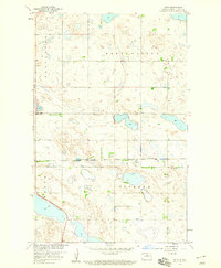
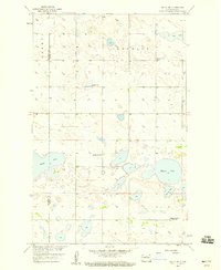
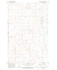
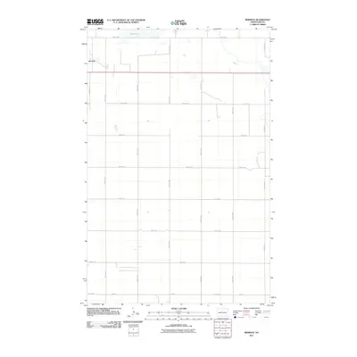
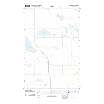
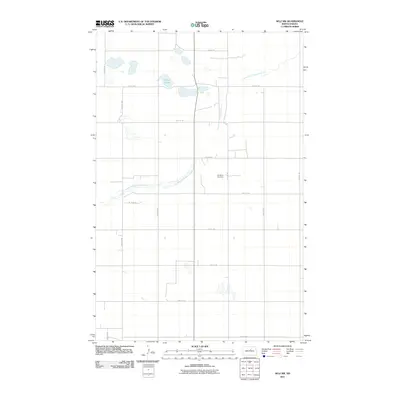
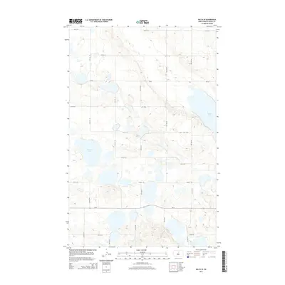
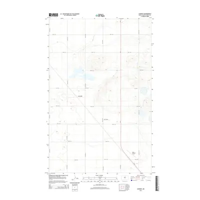
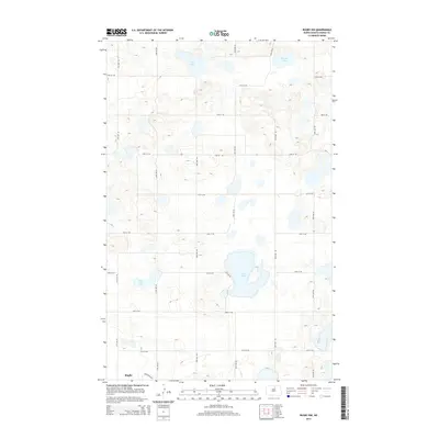
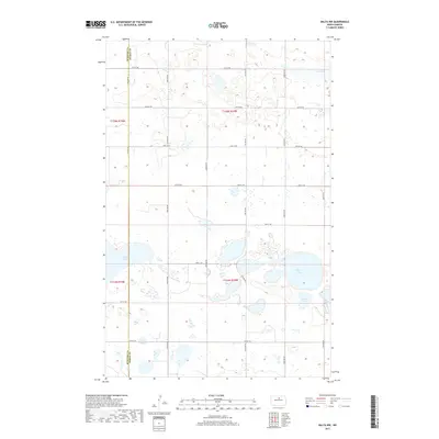
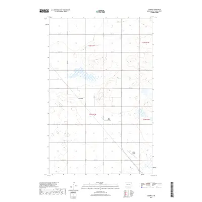
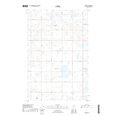
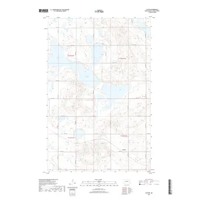
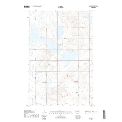
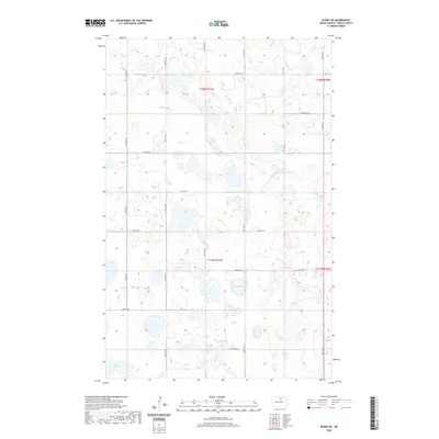
1958 Map of Silva
USGS Topo · Published 1959About this map
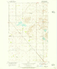
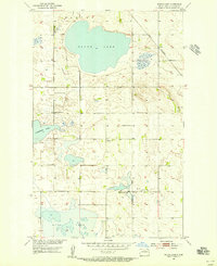
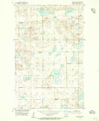
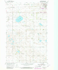
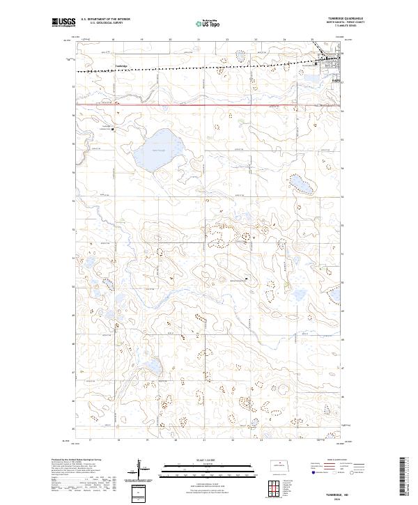
Silva occupies a quiet position in the North Dakota prairie, anchored by the Minneapolis St Paul and Sault Ste Marie railroad line that cuts across the central landscape. The area is defined by the broad topographic regions of Reno Valley and Elverum, showcasing a glaciated terrain dotted with numerous small lakes and sloughs characteristic of Pierce County. The presence of the Trinity Cem and scattered Gravel Pit sites suggests a community tied to the land, where early 20th-century township boundaries like Tuscarora and Balta still dictate the organization of the rural grid. This 1958 field-checked record captures the region's agricultural layout and vital transportation corridors before the significant consolidation of rural infrastructure.
Find a feature on this map
10 named features on this map. Tap any name to fly to it.
Don’t see what you’re looking for? This feature index may not catch every label — zoom into the map to look around manually.
Map Details
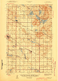
Editions of this 1958 Silva Map
This is the sole edition of this map. No revisions or reprints were ever made.
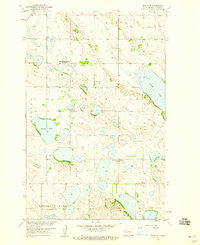
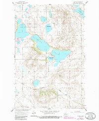
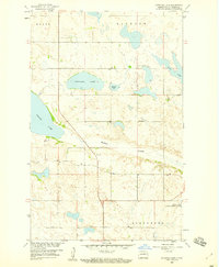
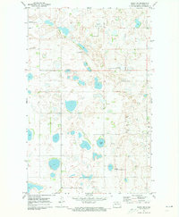
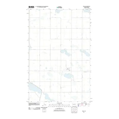
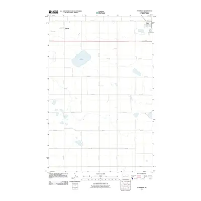
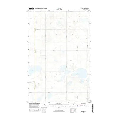
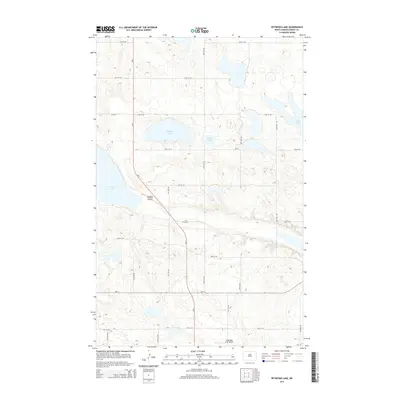
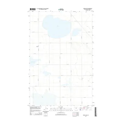
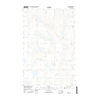
Historical Maps of Silva Through Time
79 maps found
1940 Aylmer
Pierce County, ND
1951 Selz NW
Pierce County, ND
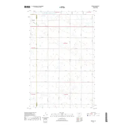
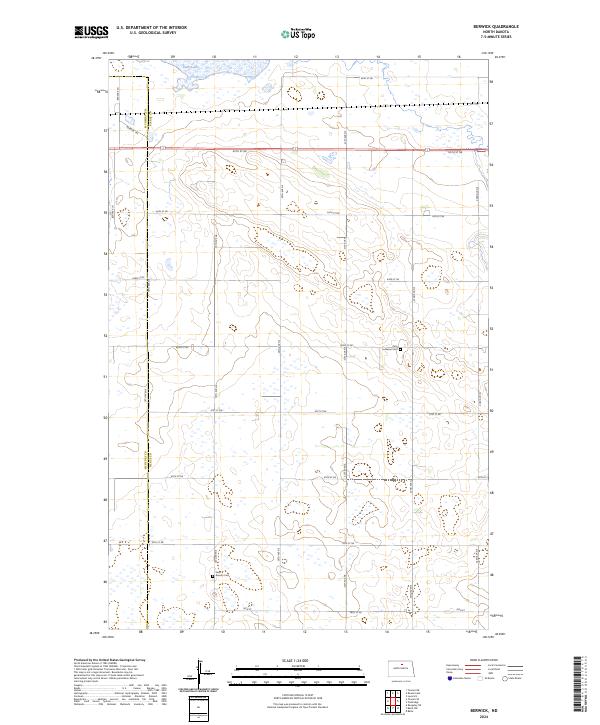
1954 Berwick
Pierce County, ND
1954 Leverich
Pierce County, ND
1954 Round Lake
Pierce County, ND
1954 Rugby NW
Pierce County, ND
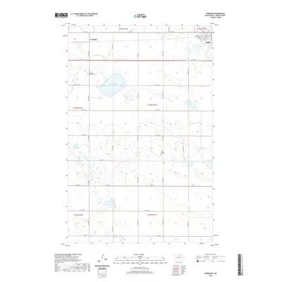
1954 Tunbridge
Pierce County, ND
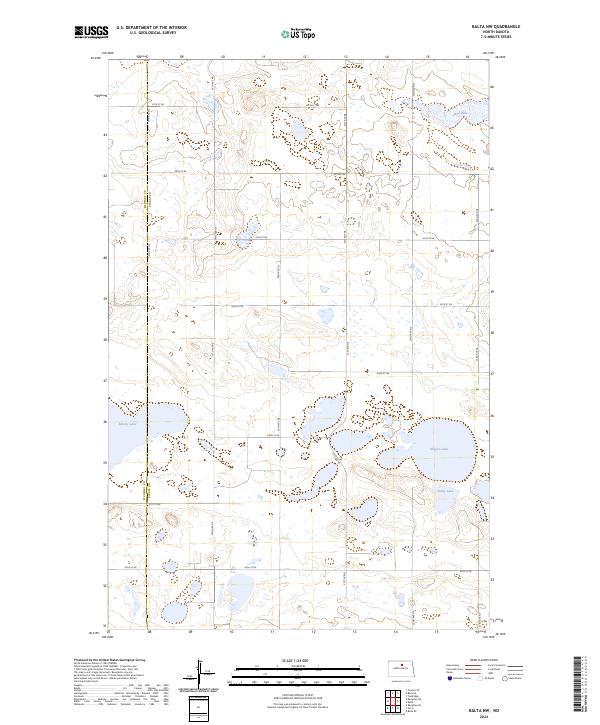
1958 Balta NW
Pierce County, ND
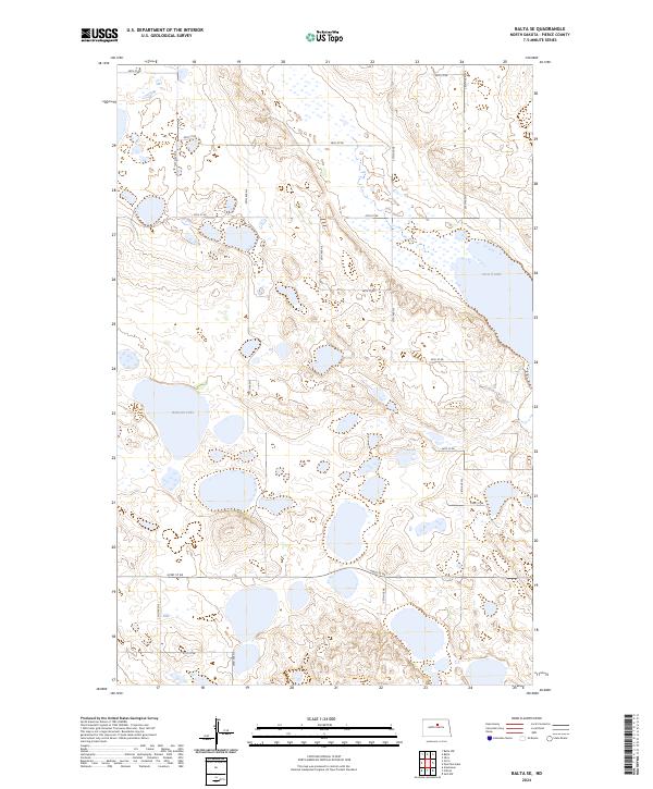
1958 Balta SE
Pierce County, ND
1958 Clifton
Pierce County, ND
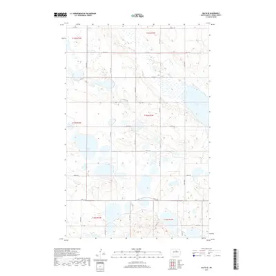
1958 Petrified Lake
Pierce County, ND
1958 Silva
Pierce County, ND
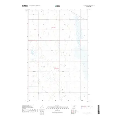
1971 Hurricane Lake West
Pierce County, ND
1971 Rugby NE
Pierce County, ND
2011 Balta NW
Pierce County, ND
2011 Balta SE
Pierce County, ND
2011 Berwick
Pierce County, ND
2011 Clifton
Pierce County, ND
2011 Hurricane Lake West
Pierce County, ND
2011 Leverich
Pierce County, ND
2011 Petrified Lake
Pierce County, ND
2011 Round Lake
Pierce County, ND
2011 Rugby NE
Pierce County, ND
2011 Rugby NW
Pierce County, ND
2011 Selz NW
Pierce County, ND
2011 Silva
Pierce County, ND
2011 Tunbridge
Pierce County, ND
2014 Balta NW
Pierce County, ND
2014 Balta SE
Pierce County, ND
2014 Berwick
Pierce County, ND
2014 Clifton
Pierce County, ND
2014 Hurricane Lake West
Pierce County, ND
2014 Leverich
Pierce County, ND
2014 Petrified Lake
Pierce County, ND
2014 Round Lake
Pierce County, ND
2014 Rugby NE
Pierce County, ND
2014 Rugby NW
Pierce County, ND
2014 Selz NW
Pierce County, ND
2014 Silva
Pierce County, ND
2014 Tunbridge
Pierce County, ND
2017 Balta NW
Pierce County, ND
2017 Balta SE
Pierce County, ND
2017 Berwick
Pierce County, ND
2017 Hurricane Lake West
Pierce County, ND
2017 Leverich
Pierce County, ND
2017 Petrified Lake
Pierce County, ND
2017 Round Lake
Pierce County, ND
2017 Rugby NE
Pierce County, ND
2017 Rugby NW
Pierce County, ND
2017 Selz NW
Pierce County, ND
2017 Silva
Pierce County, ND
2017 Tunbridge
Pierce County, ND
2018 Clifton
Pierce County, ND

2020 Balta NW
Pierce County, ND
2020 Balta SE
Pierce County, ND
2020 Berwick
Pierce County, ND
2020 Clifton
Pierce County, ND
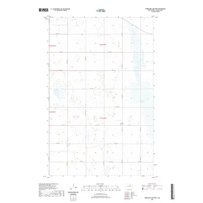
2020 Hurricane Lake West
Pierce County, ND
2020 Leverich
Pierce County, ND
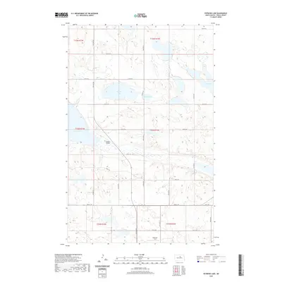
2020 Petrified Lake
Pierce County, ND
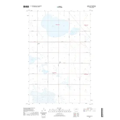
2020 Round Lake
Pierce County, ND
2020 Rugby NE
Pierce County, ND
2020 Rugby NW
Pierce County, ND
2020 Selz NW
Pierce County, ND
2020 Silva
Pierce County, ND
2020 Tunbridge
Pierce County, ND
2024 Balta NW
Pierce County, ND
2024 Balta SE
Pierce County, ND
2024 Berwick
Pierce County, ND
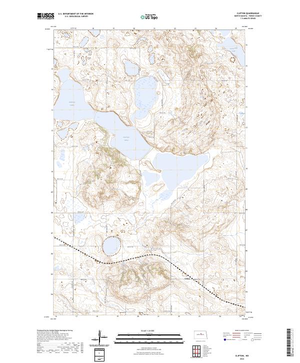
2024 Clifton
Pierce County, ND
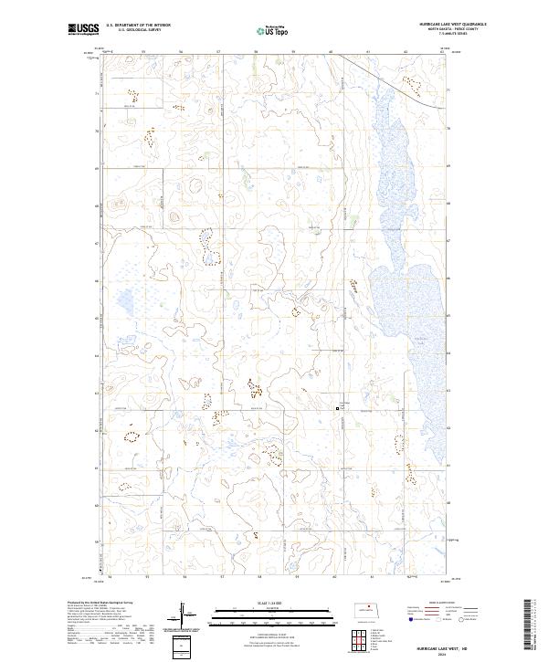
2024 Hurricane Lake West
Pierce County, ND
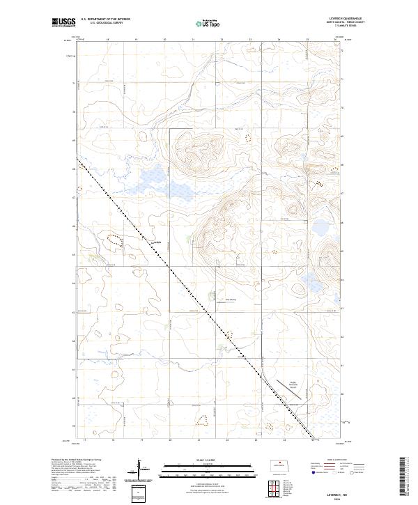
2024 Leverich
Pierce County, ND
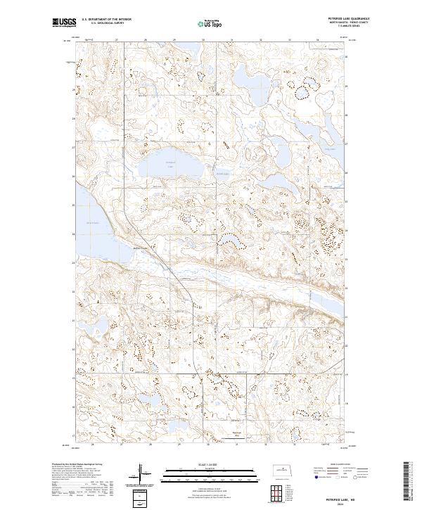
2024 Petrified Lake
Pierce County, ND
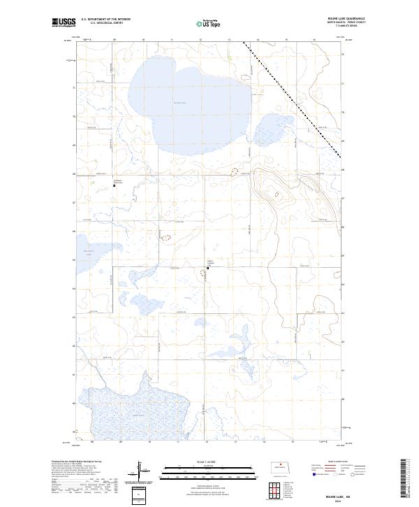
2024 Round Lake
Pierce County, ND
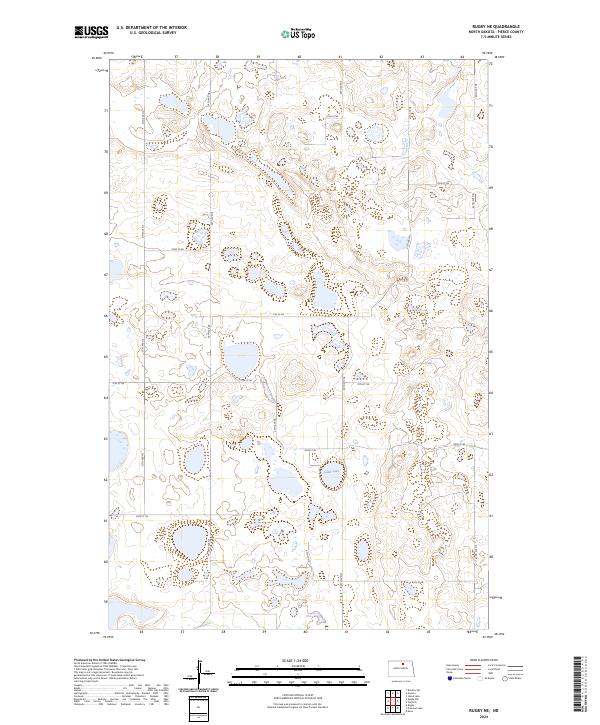
2024 Rugby NE
Pierce County, ND
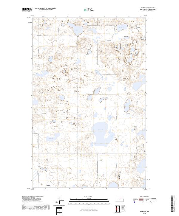
2024 Rugby NW
Pierce County, ND

2024 Selz NW
Pierce County, ND
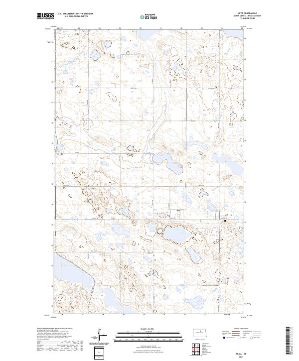
2024 Silva
Pierce County, ND
2024 Tunbridge
Pierce County, ND